Area Overview for WV3 0QN
Photos of WV3 0QN
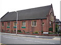
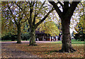
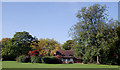
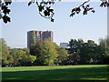
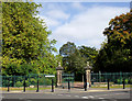
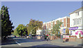
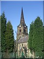
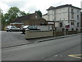
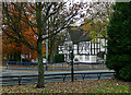
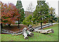
100 photos from this area
Area Information
Key information about the WV3 0QN including its size, population, and administrative classification.
- Area Type
- Postcode
- Area Size
- 1.5 hectares
- Population
- 1627
- Population Density
- 4549 people/km²
House Prices in WV3 0QN
41
Properties
£83,883
Average Sold Price
£21,500
Lowest Price
£150,000
Highest Price
Showing 41 properties
| Address | Type | Beds | Baths | Last Sale Price | Last Sale Date | |
|---|---|---|---|---|---|---|
| 162 St Marks Road, Wolverhampton, WV3 0QN | house | - | - | £115,000 | Feb 2019 | |
| 163 St Marks Road, Wolverhampton, WV3 0QN | house | - | - | £150,000 | Jan 2010 | |
| 19 St Marks Road, Wolverhampton, WV3 0QN | house | - | - | £118,500 | May 2009 | |
| 161 St Marks Road, Wolverhampton, WV3 0QN | Semi-detached | 5 | 2 | £150,000 | Apr 2006 | |
| 160 St Marks Road, Wolverhampton, WV3 0QN | Semi-detached | - | - | £149,000 | Mar 2006 | |
| 27 St Marks Road, Wolverhampton, WV3 0QN | house | 2 | 1 | £94,950 | Jun 2005 | |
| 24 St Marks Road, Wolverhampton, WV3 0QN | house | - | - | £79,000 | Oct 2004 | |
| 158 St Marks Road, Wolverhampton, WV3 0QN | house | - | - | £40,000 | Dec 1998 | |
| 157 St Marks Road, Wolverhampton, WV3 0QN | house | - | - | £21,500 | Aug 1998 | |
| 21 St Marks Road, Wolverhampton, WV3 0QN | house | - | - | £22,550 | Apr 1998 |
Page 1 of 5
Energy Efficiency in WV3 0QN
Amenities
Schools
| Rank | School | Type | Entry gender | Ages |
|---|
Explore more schools in this area
Go to Schools tabDemographics
Household Size
One person
most common
Accommodation Type
Flats
most common
Tenure
22
majority
Ethnic Group
White
most common
Religion
N/A
most common
Household Composition
N/A
most common
Age
47
median
Adults (30-64 years)
most common
Household Deprivation
N/A
with no deprivation
NS-SEC
19
in Lower managerial occupations
Explore more demographic insights in this area
Go to Demographics tabPlanning
Planning Constraints
- Flood RiskPremium
- Ramsar Wetland SitesPremium
- Area of Outstanding Natural BeautyPremium
- Protected Nature ReservePremium
- Protected WoodlandPremium