Area Overview for WV2 1BF
Photos of WV2 1BF
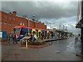

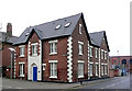
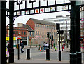
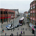
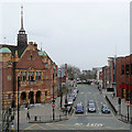

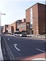
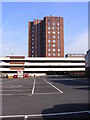
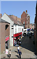
100 photos from this area
Area Information
Key information about the WV2 1BF including its size, population, and administrative classification.
- Area Type
- Postcode
- Area Size
- 1.8 hectares
- Population
- 1939
- Population Density
- 3795 people/km²
House Prices in WV2 1BF
83
Properties
£87,656
Average Sold Price
£66,000
Lowest Price
£123,750
Highest Price
Showing 83 properties
| Address | Type | Beds | Baths | Last Sale Price | Last Sale Date | |
|---|---|---|---|---|---|---|
| 78 Tramway Drive, Wolverhampton, WV2 1BF | Terraced | 2 | 2 | £123,750 | Jan 2022 | |
| 81 Tramway Drive, Wolverhampton, WV2 1BF | house | - | - | £66,000 | Dec 2021 | |
| 80 Tramway Drive, Wolverhampton, WV2 1BF | house | - | - | £123,750 | Dec 2021 | |
| 82 Tramway Drive, Wolverhampton, WV2 1BF | house | - | - | £74,250 | Nov 2021 | |
| 84 Tramway Drive, Wolverhampton, WV2 1BF | house | - | - | £66,000 | Sep 2021 | |
| 77 Tramway Drive, Wolverhampton, WV2 1BF | house | - | - | £74,250 | Sep 2021 | |
| 83 Tramway Drive, Wolverhampton, WV2 1BF | house | - | - | £90,750 | Aug 2021 | |
| 76 Tramway Drive, Wolverhampton, WV2 1BF | house | - | - | £82,500 | Aug 2021 | |
| 14, Lorain House, Tramway Drive, Wolverhampton, WV2 1BF | Flat | - | - | - | - | |
| 24, Lorain House, Tramway Drive, Wolverhampton, WV2 1BF | Flat | - | - | - | - |
Page 1 of 9
Energy Efficiency in WV2 1BF
Amenities
Schools
| Rank | School | Type | Entry gender | Ages |
|---|
Explore more schools in this area
Go to Schools tabDemographics
Household Size
Family (3-5 people)
most common
Accommodation Type
Houses
most common
Tenure
32
majority
Ethnic Group
asian_total
most common
Religion
N/A
most common
Household Composition
N/A
most common
Age
47
median
Adults (30-64 years)
most common
Household Deprivation
N/A
with no deprivation
NS-SEC
13
in Lower managerial occupations
Explore more demographic insights in this area
Go to Demographics tabPlanning
Planning Constraints
- Flood RiskPremium
- Ramsar Wetland SitesPremium
- Area of Outstanding Natural BeautyPremium
- Protected Nature ReservePremium
- Protected WoodlandPremium