Area Overview for WV14 8DA
Photos of WV14 8DA
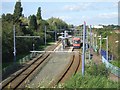
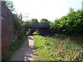
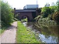
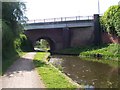

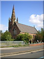
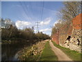
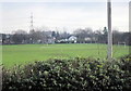
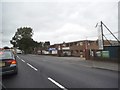
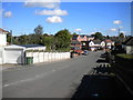
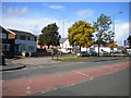

84 photos from this area
Area Information
Key information about the WV14 8DA including its size, population, and administrative classification.
- Area Type
- Postcode
- Area Size
- 2.3 hectares
- Population
- 1702
- Population Density
- 4302 people/km²
House Prices in WV14 8DA
78
Properties
£113,682
Average Sold Price
£29,000
Lowest Price
£218,000
Highest Price
Showing 78 properties
| Address | Type | Beds | Baths | Last Sale Price | Last Sale Date | |
|---|---|---|---|---|---|---|
| 7 Willis Pearson Avenue, Wolverhampton, WV14 8DA | Semi-detached | 3 | 2 | £218,000 | Jul 2025 | |
| 26 Willis Pearson Avenue, Wolverhampton, WV14 8DA | Semi-detached | 3 | 1 | £210,000 | Oct 2023 | |
| 14 Willis Pearson Avenue, Wolverhampton, WV14 8DA | Semi-detached | 3 | 2 | £132,000 | Oct 2023 | |
| 22 Willis Pearson Avenue, Wolverhampton, WV14 8DA | house | - | - | £145,000 | Aug 2022 | |
| 46 Willis Pearson Avenue, Wolverhampton, WV14 8DA | house | - | - | £140,000 | Jul 2021 | |
| 10 Willis Pearson Avenue, Wolverhampton, WV14 8DA | house | - | - | £73,500 | Mar 2018 | |
| 44 Willis Pearson Avenue, Wolverhampton, WV14 8DA | house | - | - | £102,000 | Jul 2016 | |
| 54 Willis Pearson Avenue, Wolverhampton, WV14 8DA | house | 3 | 1 | £69,000 | Jun 2010 | |
| 33 Willis Pearson Avenue, Wolverhampton, WV14 8DA | house | - | - | £55,000 | Apr 2010 | |
| 40 Willis Pearson Avenue, Wolverhampton, WV14 8DA | house | - | - | £77,000 | Jul 2005 |
Page 1 of 8
Energy Efficiency in WV14 8DA
Amenities
Schools
| Rank | School | Type | Entry gender | Ages |
|---|
Explore more schools in this area
Go to Schools tabDemographics
Household Size
Family (3-5 people)
most common
Accommodation Type
Houses
most common
Tenure
43
majority
Ethnic Group
White
most common
Religion
N/A
most common
Household Composition
N/A
most common
Age
47
median
Adults (30-64 years)
most common
Household Deprivation
N/A
with no deprivation
NS-SEC
16
in Lower managerial occupations
Explore more demographic insights in this area
Go to Demographics tabPlanning
Planning Constraints
- Flood RiskPremium
- Ramsar Wetland SitesPremium
- Area of Outstanding Natural BeautyPremium
- Protected Nature ReservePremium
- Protected WoodlandPremium