Area Overview for WV13 1HF
Photos of WV13 1HF
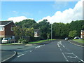
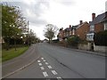
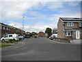
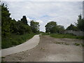
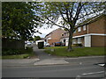
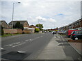
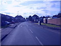
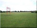
25 photos from this area
Area Information
Key information about the WV13 1HF including its size, population, and administrative classification.
- Area Type
- Postcode
- Area Size
- 1.9 hectares
- Population
- 1953
- Population Density
- 6250 people/km²
House Prices in WV13 1HF
37
Properties
£110,333
Average Sold Price
£28,000
Lowest Price
£190,000
Highest Price
Showing 37 properties
| Address | Type | Beds | Baths | Last Sale Price | Last Sale Date | |
|---|---|---|---|---|---|---|
| 56 Gough Street, Willenhall, WV13 1HF | Semi-detached | 3 | 1 | £190,000 | Nov 2024 | |
| 55 Gough Street, Willenhall, WV13 1HF | Semi-detached | 3 | - | £171,000 | Apr 2024 | |
| 51 Gough Street, Willenhall, WV13 1HF | house | - | - | £139,000 | May 2023 | |
| 67 Gough Street, Willenhall, WV13 1HF | Semi-detached | 2 | 1 | £140,000 | Mar 2021 | |
| 59 Gough Street, Willenhall, WV13 1HF | house | - | - | £125,000 | Jan 2021 | |
| 86 Gough Street, Willenhall, WV13 1HF | house | - | - | £90,000 | Dec 2020 | |
| 72 Gough Street, Willenhall, WV13 1HF | house | - | - | £115,000 | Oct 2020 | |
| 85 Gough Street, Willenhall, WV13 1HF | Terraced | 3 | - | £80,000 | Apr 2013 | |
| 54 Gough Street, Willenhall, WV13 1HF | Terraced | - | - | £85,000 | Feb 2008 | |
| 70 Gough Street, Willenhall, WV13 1HF | house | - | - | £86,000 | Oct 2007 |
Page 1 of 4
Energy Efficiency in WV13 1HF
Amenities
Schools
| Rank | School | Type | Entry gender | Ages |
|---|
Explore more schools in this area
Go to Schools tabDemographics
Household Size
Family (3-5 people)
most common
Accommodation Type
Houses
most common
Tenure
45
majority
Ethnic Group
White
most common
Religion
N/A
most common
Household Composition
N/A
most common
Age
47
median
Adults (30-64 years)
most common
Household Deprivation
N/A
with no deprivation
NS-SEC
18
in Lower managerial occupations
Explore more demographic insights in this area
Go to Demographics tabPlanning
Planning Constraints
- Flood RiskPremium
- Ramsar Wetland SitesPremium
- Area of Outstanding Natural BeautyPremium
- Protected Nature ReservePremium
- Protected WoodlandPremium