Area Overview for WV10 9AZ
Photos of WV10 9AZ
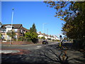
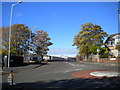
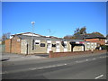
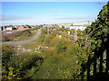
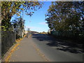
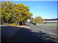
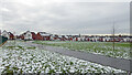
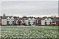
62 photos from this area
Area Information
Key information about the WV10 9AZ including its size, population, and administrative classification.
- Area Type
- Postcode
- Area Size
- 2.2 hectares
- Population
- 2196
- Population Density
- 6114 people/km²
House Prices in WV10 9AZ
75
Properties
£260,686
Average Sold Price
£144,995
Lowest Price
£1,602,098
Highest Price
Showing 75 properties
| Address | Type | Beds | Baths | Last Sale Price | Last Sale Date | |
|---|---|---|---|---|---|---|
| 21 Comet Drive, Wolverhampton, WV10 9AZ | Semi-detached | 3 | 2 | £247,500 | Jun 2025 | |
| 26 Comet Drive, Wolverhampton, WV10 9AZ | Semi-detached | 2 | 1 | £185,000 | Mar 2025 | |
| 14 Comet Drive, Wolverhampton, WV10 9AZ | Semi-detached | 3 | 2 | £210,000 | Sep 2024 | |
| 36 Comet Drive, Wolverhampton, WV10 9AZ | Semi-detached | 2 | 1 | £180,000 | Sep 2023 | |
| 4 Comet Drive, Wolverhampton, WV10 9AZ | Detached | 3 | 2 | £220,000 | Apr 2022 | |
| 56 Comet Drive, Wolverhampton, WV10 9AZ | house | - | - | £225,000 | May 2021 | |
| 60 Comet Drive, Wolverhampton, WV10 9AZ | house | - | - | £149,995 | Mar 2021 | |
| 57 Comet Drive, Wolverhampton, WV10 9AZ | house | - | - | £220,000 | Feb 2021 | |
| 55 Comet Drive, Wolverhampton, WV10 9AZ | house | - | - | £225,000 | Dec 2020 | |
| 54 Comet Drive, Wolverhampton, WV10 9AZ | house | - | - | £217,500 | Dec 2020 |
Page 1 of 8
Energy Efficiency in WV10 9AZ
Amenities
Schools
| Rank | School | Type | Entry gender | Ages |
|---|
Explore more schools in this area
Go to Schools tabDemographics
Household Size
Family (3-5 people)
most common
Accommodation Type
Houses
most common
Tenure
35
majority
Ethnic Group
White
most common
Religion
N/A
most common
Household Composition
N/A
most common
Age
22
median
Adults (30-64 years)
most common
Household Deprivation
N/A
with no deprivation
NS-SEC
16
in Lower managerial occupations
Explore more demographic insights in this area
Go to Demographics tabPlanning
Planning Constraints
- Flood RiskPremium
- Ramsar Wetland SitesPremium
- Area of Outstanding Natural BeautyPremium
- Protected Nature ReservePremium
- Protected WoodlandPremium