Area Overview for WV10 7TB
Photos of WV10 7TB
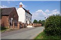

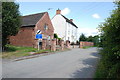
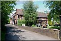
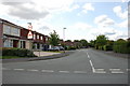
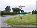
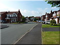
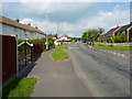
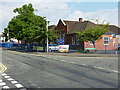
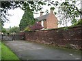
12 photos from this area
Area Information
Key information about the WV10 7TB including its size, population, and administrative classification.
- Area Type
- Postcode
- Area Size
- 7497 m²
- Population
- 1734
- Population Density
- 517 people/km²
House Prices in WV10 7TB
21
Properties
£119,931
Average Sold Price
£56,500
Lowest Price
£195,000
Highest Price
Showing 21 properties
| Address | Type | Beds | Baths | Last Sale Price | Last Sale Date | |
|---|---|---|---|---|---|---|
| 16 Turnstone Drive, Featherstone, WV10 7TB | house | - | - | £177,000 | Sep 2021 | |
| 34 Turnstone Drive, Featherstone, WV10 7TB | Detached | 2 | 1 | £142,500 | Oct 2020 | |
| 28 Turnstone Drive, Featherstone, WV10 7TB | Semi-detached | 3 | 1 | £195,000 | Jun 2020 | |
| 36 Turnstone Drive, Featherstone, WV10 7TB | Semi-detached | 2 | 1 | £134,000 | Sep 2017 | |
| 8 Turnstone Drive, Featherstone, WV10 7TB | Semi-detached | 3 | - | £140,000 | Mar 2016 | |
| 40 Turnstone Drive, Featherstone, WV10 7TB | house | 3 | - | £124,000 | May 2013 | |
| 10 Turnstone Drive, Featherstone, WV10 7TB | Semi-detached | 3 | 1 | £139,950 | May 2013 | |
| 18 Turnstone Drive, Featherstone, WV10 7TB | Semi-detached | - | - | £137,250 | May 2004 | |
| 42 Turnstone Drive, Featherstone, WV10 7TB | Terraced | - | - | £87,500 | Apr 2002 | |
| 22 Turnstone Drive, Featherstone, WV10 7TB | house | - | - | £79,950 | Nov 2001 |
Page 1 of 3
Energy Efficiency in WV10 7TB
Amenities
Schools
| Rank | School | Type | Entry gender | Ages |
|---|
Explore more schools in this area
Go to Schools tabDemographics
Household Size
Family (3-5 people)
most common
Accommodation Type
Houses
most common
Tenure
51
majority
Ethnic Group
White
most common
Religion
N/A
most common
Household Composition
N/A
most common
Age
47
median
Adults (30-64 years)
most common
Household Deprivation
N/A
with no deprivation
NS-SEC
21
in Lower managerial occupations
Explore more demographic insights in this area
Go to Demographics tabPlanning
Planning Constraints
- Flood RiskPremium
- Ramsar Wetland SitesPremium
- Area of Outstanding Natural BeautyPremium
- Protected Nature ReservePremium
- Protected WoodlandPremium