Area Overview for WS9 9PF
Photos of WS9 9PF
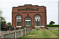
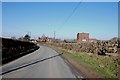
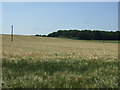
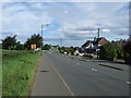
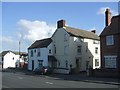
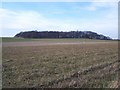
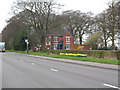
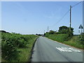
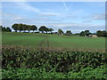
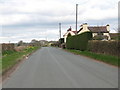
10 photos from this area
Area Information
Key information about the WS9 9PF including its size, population, and administrative classification.
- Area Type
- Postcode
- Area Size
- 31.0 hectares
- Population
- 1565
- Population Density
- 177 people/km²
House Prices in WS9 9PF
37
Properties
£255,787
Average Sold Price
£65,000
Lowest Price
£510,000
Highest Price
Showing 37 properties
| Address | Type | Beds | Baths | Last Sale Price | Last Sale Date | |
|---|---|---|---|---|---|---|
| 144 Lichfield Road, Sandhills, WS9 9PF | Bungalow | 3 | 2 | £465,000 | Aug 2025 | |
| 98 Lichfield Road, Sandhills, WS9 9PF | Detached | 4 | 2 | £510,000 | Jun 2025 | |
| 134 Lichfield Road, Sandhills, WS9 9PF | Detached | 4 | 2 | £365,000 | Mar 2024 | |
| 90 Lichfield Road, Sandhills, WS9 9PF | house | - | - | £330,000 | Apr 2023 | |
| 138 Lichfield Road, Sandhills, WS9 9PF | Bungalow | - | - | £310,000 | Jul 2022 | |
| 154 Lichfield Road, Sandhills, WS9 9PF | house | - | - | £275,500 | Mar 2022 | |
| 126 Lichfield Road, Sandhills, WS9 9PF | Semi-detached | 3 | 2 | £279,995 | Oct 2021 | |
| 106 Lichfield Road, Sandhills, WS9 9PF | Detached | 4 | 2 | £405,000 | Jun 2021 | |
| 96 Lichfield Road, Sandhills, WS9 9PF | Bungalow | 3 | 1 | £425,000 | Nov 2020 | |
| 142 Lichfield Road, Sandhills, WS9 9PF | Bungalow | - | - | £193,200 | Oct 2020 |
Page 1 of 4
Energy Efficiency in WS9 9PF
Amenities
Schools
| Rank | School | Type | Entry gender | Ages |
|---|
Explore more schools in this area
Go to Schools tabDemographics
Household Size
Two person
most common
Accommodation Type
Houses
most common
Tenure
88
majority
Ethnic Group
White
most common
Religion
N/A
most common
Household Composition
N/A
most common
Age
47
median
Adults (30-64 years)
most common
Household Deprivation
N/A
with no deprivation
NS-SEC
43
in Lower managerial occupations
Explore more demographic insights in this area
Go to Demographics tabPlanning
Planning Constraints
- Flood RiskPremium
- Ramsar Wetland SitesPremium
- Area of Outstanding Natural BeautyPremium
- Protected Nature ReservePremium
- Protected WoodlandPremium