Area Overview for WS9 9PB
Photos of WS9 9PB
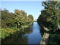
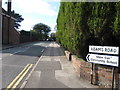
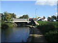
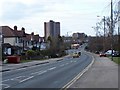
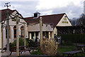
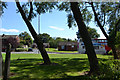
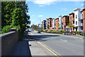
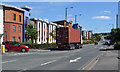
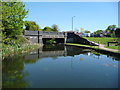
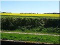
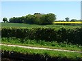
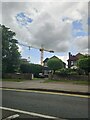
24 photos from this area
Area Information
Key information about the WS9 9PB including its size, population, and administrative classification.
- Area Type
- Postcode
- Area Size
- 3.0 hectares
- Population
- 1399
- Population Density
- 1099 people/km²
House Prices in WS9 9PB
22
Properties
£266,172
Average Sold Price
£65,000
Lowest Price
£575,000
Highest Price
Showing 22 properties
| Address | Type | Beds | Baths | Last Sale Price | Last Sale Date | |
|---|---|---|---|---|---|---|
| 223 Lichfield Road, Walsall Wood, WS9 9PB | Detached | 5 | 2 | £575,000 | Mar 2024 | |
| 247 Lichfield Road, Walsall Wood, WS9 9PB | house | - | - | £245,000 | Jun 2021 | |
| 231 Lichfield Road, Walsall Wood, WS9 9PB | house | - | - | £300,000 | May 2021 | |
| 251 Lichfield Road, Walsall Wood, WS9 9PB | house | - | - | £315,000 | Feb 2021 | |
| 253 Lichfield Road, Walsall Wood, WS9 9PB | house | - | - | £315,000 | Jan 2021 | |
| 227 Lichfield Road, Walsall Wood, WS9 9PB | Detached | 6 | 4 | £225,000 | Jan 2019 | |
| 241 Lichfield Road, Walsall Wood, WS9 9PB | Bungalow | - | - | £285,000 | Oct 2015 | |
| 237 Lichfield Road, Walsall Wood, WS9 9PB | Detached | - | - | £284,995 | Jun 2006 | |
| 219 Lichfield Road, Walsall Wood, WS9 9PB | Semi-detached | - | - | £137,950 | Jul 2004 | |
| 243 Lichfield Road, Walsall Wood, WS9 9PB | Detached | - | - | £179,950 | Nov 2003 |
Page 1 of 3
Energy Efficiency in WS9 9PB
Amenities
Schools
| Rank | School | Type | Entry gender | Ages |
|---|
Explore more schools in this area
Go to Schools tabDemographics
Household Size
Two person
most common
Accommodation Type
Houses
most common
Tenure
79
majority
Ethnic Group
White
most common
Religion
N/A
most common
Household Composition
N/A
most common
Age
47
median
Adults (30-64 years)
most common
Household Deprivation
N/A
with no deprivation
NS-SEC
28
in Lower managerial occupations
Explore more demographic insights in this area
Go to Demographics tabPlanning
Planning Constraints
- Flood RiskPremium
- Ramsar Wetland SitesPremium
- Area of Outstanding Natural BeautyPremium
- Protected Nature ReservePremium
- Protected WoodlandPremium