Area Overview for WS9 9JR
Photos of WS9 9JR
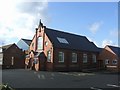
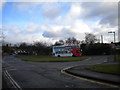
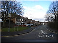
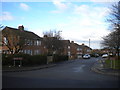
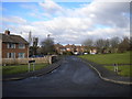
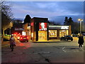
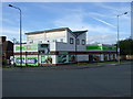
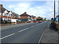
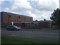
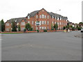
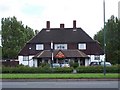
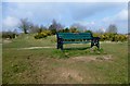
13 photos from this area
Area Information
Key information about the WS9 9JR including its size, population, and administrative classification.
- Area Type
- Postcode
- Area Size
- 2.1 hectares
- Population
- 1217
- Population Density
- 4570 people/km²
House Prices in WS9 9JR
63
Properties
£115,325
Average Sold Price
£37,000
Lowest Price
£175,000
Highest Price
Showing 63 properties
| Address | Type | Beds | Baths | Last Sale Price | Last Sale Date | |
|---|---|---|---|---|---|---|
| 71 Poxon Road, Walsall Wood, WS9 9JR | house | - | - | £147,500 | Jun 2023 | |
| 106 Poxon Road, Walsall Wood, WS9 9JR | house | - | - | £175,000 | Sep 2021 | |
| 87 Poxon Road, Walsall Wood, WS9 9JR | house | - | - | £170,000 | Apr 2021 | |
| 81 Poxon Road, Walsall Wood, WS9 9JR | house | - | - | £138,000 | Mar 2021 | |
| 94 Poxon Road, Walsall Wood, WS9 9JR | Terraced | 3 | 1 | £138,000 | Nov 2016 | |
| 102 Poxon Road, Walsall Wood, WS9 9JR | house | 3 | - | £132,500 | Sep 2016 | |
| 114 Poxon Road, Walsall Wood, WS9 9JR | house | - | - | £140,000 | Jun 2014 | |
| 73 Poxon Road, Walsall Wood, WS9 9JR | house | - | - | £112,000 | Apr 2014 | |
| 59 Poxon Road, Walsall Wood, WS9 9JR | Terraced | - | - | £117,950 | Apr 2007 | |
| 68 Poxon Road, Walsall Wood, WS9 9JR | Terraced | - | - | £119,000 | Jul 2006 |
Page 1 of 7
Energy Efficiency in WS9 9JR
Amenities
Schools
| Rank | School | Type | Entry gender | Ages |
|---|
Explore more schools in this area
Go to Schools tabDemographics
Household Size
Two person
most common
Accommodation Type
Houses
most common
Tenure
58
majority
Ethnic Group
White
most common
Religion
N/A
most common
Household Composition
N/A
most common
Age
47
median
Adults (30-64 years)
most common
Household Deprivation
N/A
with no deprivation
NS-SEC
22
in Lower managerial occupations
Explore more demographic insights in this area
Go to Demographics tabPlanning
Planning Constraints
- Flood RiskPremium
- Ramsar Wetland SitesPremium
- Area of Outstanding Natural BeautyPremium
- Protected Nature ReservePremium
- Protected WoodlandPremium