Area Overview for WS8 7NP
Photos of WS8 7NP
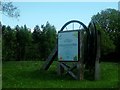
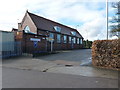
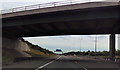
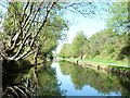
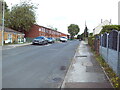
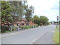
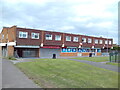
23 photos from this area
Area Information
Key information about the WS8 7NP including its size, population, and administrative classification.
- Area Type
- Postcode
- Area Size
- 1.3 hectares
- Population
- 1587
- Population Density
- 1230 people/km²
House Prices in WS8 7NP
24
Properties
£125,700
Average Sold Price
£47,000
Lowest Price
£230,000
Highest Price
Showing 24 properties
| Address | Type | Beds | Baths | Last Sale Price | Last Sale Date | |
|---|---|---|---|---|---|---|
| 112 Watling Street, Brownhills, WS8 7NP | Semi-detached | 3 | 1 | £165,000 | Oct 2025 | |
| 110 Watling Street, Brownhills, WS8 7NP | Semi-detached | 3 | 1 | £193,000 | Oct 2024 | |
| 127 Watling Street, Brownhills, WS8 7NP | Semi-detached | 3 | 1 | £230,000 | May 2024 | |
| 121 Watling Street, Brownhills, WS8 7NP | house | 3 | 1 | £205,000 | Nov 2022 | |
| 113 Watling Street, Brownhills, WS8 7NP | house | - | - | £115,000 | Jan 2010 | |
| 129 Watling Street, Brownhills, WS8 7NP | Detached | - | - | £135,000 | Jun 2004 | |
| 94A Watling Street, Brownhills, WS8 7NP | Detached | - | - | £70,000 | Mar 2002 | |
| 92 Watling Street, Brownhills, WS8 7NP | Semi-detached | 3 | 1 | £48,000 | Sep 2001 | |
| 108 Watling Street, Brownhills, WS8 7NP | Semi-detached | - | - | £49,000 | Mar 1999 | |
| 106 Watling Street, Brownhills, WS8 7NP | Semi-detached | - | - | £47,000 | Nov 1997 |
Page 1 of 3
Energy Efficiency in WS8 7NP
Amenities
Schools
| Rank | School | Type | Entry gender | Ages |
|---|
Explore more schools in this area
Go to Schools tabDemographics
Household Size
Two person
most common
Accommodation Type
Houses
most common
Tenure
71
majority
Ethnic Group
White
most common
Religion
N/A
most common
Household Composition
N/A
most common
Age
47
median
Adults (30-64 years)
most common
Household Deprivation
N/A
with no deprivation
NS-SEC
22
in Lower managerial occupations
Explore more demographic insights in this area
Go to Demographics tabPlanning
Planning Constraints
- Flood RiskPremium
- Ramsar Wetland SitesPremium
- Area of Outstanding Natural BeautyPremium
- Protected Nature ReservePremium
- Protected WoodlandPremium