Area Overview for WS8 6BD
Photos of WS8 6BD
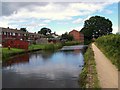
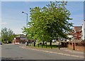
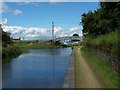
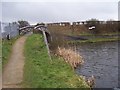
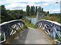
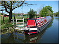
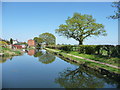
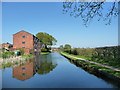
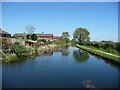
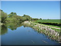
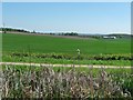
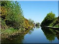
22 photos from this area
Area Information
Key information about the WS8 6BD including its size, population, and administrative classification.
- Area Type
- Postcode
- Area Size
- 9911 m²
- Population
- 1536
- Population Density
- 2765 people/km²
House Prices in WS8 6BD
25
Properties
£132,550
Average Sold Price
£100,000
Lowest Price
£210,000
Highest Price
Showing 25 properties
| Address | Type | Beds | Baths | Last Sale Price | Last Sale Date | |
|---|---|---|---|---|---|---|
| 116 Ogley Road, Brownhills, WS8 6BD | Semi-detached | 3 | 1 | £210,000 | May 2024 | |
| 128 Ogley Road, Brownhills, WS8 6BD | house | 3 | - | £148,000 | Oct 2021 | |
| 93 Ogley Road, Brownhills, WS8 6BD | house | - | - | £140,000 | Nov 2019 | |
| 83 Ogley Road, Brownhills, WS8 6BD | Semi-detached | 3 | 2 | £141,000 | Jul 2017 | |
| 89 Ogley Road, Brownhills, WS8 6BD | house | - | - | £113,000 | Apr 2017 | |
| 79 Ogley Road, Brownhills, WS8 6BD | house | - | - | £100,000 | Jan 2017 | |
| 118 Ogley Road, Brownhills, WS8 6BD | Semi-detached | 4 | - | £125,000 | May 2016 | |
| 122 Ogley Road, Brownhills, WS8 6BD | Semi-detached | 2 | - | £105,000 | Jul 2014 | |
| 108 Ogley Road, Brownhills, WS8 6BD | house | - | - | £133,500 | Oct 2012 | |
| 75 Ogley Road, Brownhills, WS8 6BD | house | - | - | £110,000 | Sep 2012 |
Page 1 of 3
Energy Efficiency in WS8 6BD
Amenities
Schools
| Rank | School | Type | Entry gender | Ages |
|---|
Explore more schools in this area
Go to Schools tabDemographics
Household Size
Family (3-5 people)
most common
Accommodation Type
Houses
most common
Tenure
63
majority
Ethnic Group
White
most common
Religion
N/A
most common
Household Composition
N/A
most common
Age
47
median
Adults (30-64 years)
most common
Household Deprivation
N/A
with no deprivation
NS-SEC
16
in Lower managerial occupations
Explore more demographic insights in this area
Go to Demographics tabPlanning
Planning Constraints
- Flood RiskPremium
- Ramsar Wetland SitesPremium
- Area of Outstanding Natural BeautyPremium
- Protected Nature ReservePremium
- Protected WoodlandPremium