Area Overview for WS6 6EF
Photos of WS6 6EF
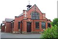
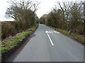
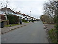
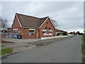
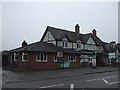
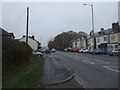

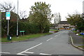

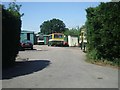
11 photos from this area
Area Information
Key information about the WS6 6EF including its size, population, and administrative classification.
- Area Type
- Postcode
- Area Size
- 1.6 hectares
- Population
- 1972
- Population Density
- 1154 people/km²
House Prices in WS6 6EF
31
Properties
£189,350
Average Sold Price
£45,000
Lowest Price
£269,000
Highest Price
Showing 31 properties
| Address | Type | Beds | Baths | Last Sale Price | Last Sale Date | |
|---|---|---|---|---|---|---|
| 29A Bentons Lane, Great Wyrley, WS6 6EF | Semi-detached | 3 | 2 | £235,000 | Feb 2024 | |
| 29 Bentons Lane, Great Wyrley, WS6 6EF | house | - | - | £260,000 | Oct 2022 | |
| 16 Bentons Lane, Great Wyrley, WS6 6EF | house | - | - | £222,000 | Jul 2021 | |
| 6 Bentons Lane, Great Wyrley, WS6 6EF | Detached | 3 | 2 | £258,700 | Jun 2021 | |
| 21 Bentons Lane, Great Wyrley, WS6 6EF | Detached | 3 | 1 | £269,000 | Aug 2019 | |
| 3 Bentons Lane, Great Wyrley, WS6 6EF | Semi-detached | 3 | 1 | £182,500 | Jul 2015 | |
| 7 Bentons Lane, Great Wyrley, WS6 6EF | Semi-detached | 3 | - | £180,000 | Mar 2014 | |
| 1 Bentons Lane, Great Wyrley, WS6 6EF | Semi-detached | 3 | 1 | £80,000 | Mar 2013 | |
| 13 Bentons Lane, Great Wyrley, WS6 6EF | house | 3 | - | £193,000 | May 2011 | |
| 9 Bentons Lane, Great Wyrley, WS6 6EF | Detached | 4 | 2 | £165,000 | Sep 2005 |
Page 1 of 4
Energy Efficiency in WS6 6EF
Amenities
Schools
| Rank | School | Type | Entry gender | Ages |
|---|
Explore more schools in this area
Go to Schools tabDemographics
Household Size
Two person
most common
Accommodation Type
Houses
most common
Tenure
69
majority
Ethnic Group
White
most common
Religion
N/A
most common
Household Composition
N/A
most common
Age
47
median
Adults (30-64 years)
most common
Household Deprivation
N/A
with no deprivation
NS-SEC
23
in Lower managerial occupations
Explore more demographic insights in this area
Go to Demographics tabPlanning
Planning Constraints
- Flood RiskPremium
- Ramsar Wetland SitesPremium
- Area of Outstanding Natural BeautyPremium
- Protected Nature ReservePremium
- Protected WoodlandPremium