Area Overview for WS6 6AG
Photos of WS6 6AG
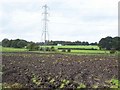
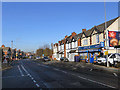
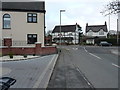
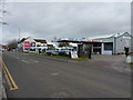
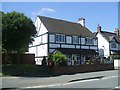
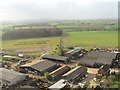
10 photos from this area
Area Information
Key information about the WS6 6AG including its size, population, and administrative classification.
- Area Type
- Postcode
- Area Size
- 12.2 hectares
- Population
- 1972
- Population Density
- 1154 people/km²
House Prices in WS6 6AG
14
Properties
£174,714
Average Sold Price
£29,000
Lowest Price
£282,000
Highest Price
Showing 14 properties
| Address | Type | Beds | Baths | Last Sale Price | Last Sale Date | |
|---|---|---|---|---|---|---|
| 584 Walsall Road, Great Wyrley, WS6 6AG | Semi-detached | 2 | 2 | £125,000 | Jun 2019 | |
| 580 Walsall Road, Great Wyrley, WS6 6AG | house | - | - | £130,000 | May 2019 | |
| 576 Walsall Road, Great Wyrley, WS6 6AG | house | 3 | 2 | £210,000 | Jan 2019 | |
| 578 Walsall Road, Great Wyrley, WS6 6AG | Semi-detached | 3 | 1 | £182,000 | May 2018 | |
| 598 Walsall Road, Great Wyrley, WS6 6AG | Bungalow | - | - | £265,000 | Sep 2014 | |
| 600 Walsall Road, Great Wyrley, WS6 6AG | house | - | - | £282,000 | Aug 2014 | |
| 586 Walsall Road, Great Wyrley, WS6 6AG | house | - | - | £29,000 | Oct 1997 | |
| Car Wash, 594 Walsall Road, Great Wyrley, WS6 6AG | commercial | - | - | - | - | |
| Communication Station 1, Walsall Road, Great Wyrley, WS6 6AG | Detached | - | - | - | - | |
| 582 Walsall Road, Great Wyrley, WS6 6AG | Semi-detached | - | - | - | - |
Page 1 of 2
Energy Efficiency in WS6 6AG
Amenities
Schools
| Rank | School | Type | Entry gender | Ages |
|---|
Explore more schools in this area
Go to Schools tabDemographics
Household Size
Two person
most common
Accommodation Type
Houses
most common
Tenure
69
majority
Ethnic Group
White
most common
Religion
N/A
most common
Household Composition
N/A
most common
Age
47
median
Adults (30-64 years)
most common
Household Deprivation
N/A
with no deprivation
NS-SEC
23
in Lower managerial occupations
Explore more demographic insights in this area
Go to Demographics tabPlanning
Planning Constraints
- Flood RiskPremium
- Ramsar Wetland SitesPremium
- Area of Outstanding Natural BeautyPremium
- Protected Nature ReservePremium
- Protected WoodlandPremium