Area Overview for WS5 3QG
Photos of WS5 3QG
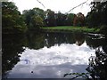
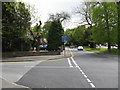
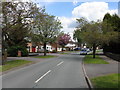
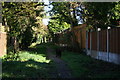
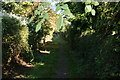
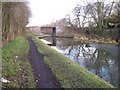
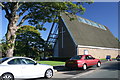
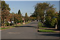
80 photos from this area
Area Information
Key information about the WS5 3QG including its size, population, and administrative classification.
- Area Type
- Postcode
- Area Size
- 1.1 hectares
- Population
- 1525
- Population Density
- 2253 people/km²
House Prices in WS5 3QG
19
Properties
£350,222
Average Sold Price
£122,500
Lowest Price
£520,000
Highest Price
Showing 19 properties
| Address | Type | Beds | Baths | Last Sale Price | Last Sale Date | |
|---|---|---|---|---|---|---|
| 48 Greaves Avenue, Walsall, WS5 3QG | Detached | 4 | 2 | £465,000 | Sep 2025 | |
| 35 Greaves Avenue, Walsall, WS5 3QG | Bungalow | 3 | - | £475,000 | Dec 2021 | |
| 34 Greaves Avenue, Walsall, WS5 3QG | Detached | 5 | 3 | £520,000 | Nov 2020 | |
| 54 Greaves Avenue, Walsall, WS5 3QG | house | - | - | £325,000 | Apr 2019 | |
| 41 Greaves Avenue, Walsall, WS5 3QG | house | - | - | £320,000 | May 2018 | |
| 46 Greaves Avenue, Walsall, WS5 3QG | house | 5 | - | £347,000 | Aug 2016 | |
| 30 Greaves Avenue, Walsall, WS5 3QG | Detached | 4 | 3 | £305,000 | Aug 2010 | |
| 38 Greaves Avenue, Walsall, WS5 3QG | Detached | 3 | 3 | £272,500 | May 2006 | |
| 52 Greaves Avenue, Walsall, WS5 3QG | Detached | - | - | £122,500 | Sep 1997 | |
| 39 Greaves Avenue, Walsall, WS5 3QG | Detached | - | - | - | - |
Page 1 of 2
Energy Efficiency in WS5 3QG
Amenities
Schools
| Rank | School | Type | Entry gender | Ages |
|---|
Explore more schools in this area
Go to Schools tabDemographics
Household Size
Family (3-5 people)
most common
Accommodation Type
Houses
most common
Tenure
93
majority
Ethnic Group
asian_total
most common
Religion
N/A
most common
Household Composition
N/A
most common
Age
47
median
Adults (30-64 years)
most common
Household Deprivation
N/A
with no deprivation
NS-SEC
41
in Lower managerial occupations
Explore more demographic insights in this area
Go to Demographics tabPlanning
Planning Constraints
- Flood RiskPremium
- Ramsar Wetland SitesPremium
- Area of Outstanding Natural BeautyPremium
- Protected Nature ReservePremium
- Protected WoodlandPremium