Area Overview for WS5 3EY
Photos of WS5 3EY
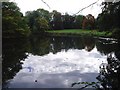
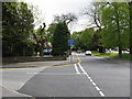
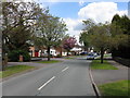
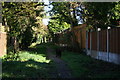
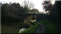
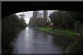
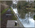
80 photos from this area
Area Information
Key information about the WS5 3EY including its size, population, and administrative classification.
- Area Type
- Postcode
- Area Size
- 1.3 hectares
- Population
- 1611
- Population Density
- 4693 people/km²
House Prices in WS5 3EY
38
Properties
£202,429
Average Sold Price
£122,000
Lowest Price
£325,000
Highest Price
Showing 38 properties
| Address | Type | Beds | Baths | Last Sale Price | Last Sale Date | |
|---|---|---|---|---|---|---|
| 4 Liskeard Road, Walsall, WS5 3EY | house | - | - | £325,000 | Sep 2022 | |
| 6 Liskeard Road, Walsall, WS5 3EY | house | - | - | £220,000 | Feb 2019 | |
| 30 Liskeard Road, Walsall, WS5 3EY | house | - | - | £180,000 | Dec 2017 | |
| 14 Liskeard Road, Walsall, WS5 3EY | house | - | - | £270,000 | May 2017 | |
| 32 Liskeard Road, Walsall, WS5 3EY | Semi-detached | 3 | - | £162,000 | Oct 2012 | |
| 18 Liskeard Road, Walsall, WS5 3EY | house | - | - | £138,000 | Jun 2005 | |
| 22 Liskeard Road, Walsall, WS5 3EY | house | 3 | - | £122,000 | Aug 2003 | |
| 12 Liskeard Road, Walsall, WS5 3EY | Retail | - | - | - | - | |
| Living Area, The King Arthur, Liskeard Road, Walsall, WS5 3EY | Flat | - | - | - | - | |
| Kajal Balti, 51-53, Gillity Village Shopping Centre, Liskeard Road, Walsall, WS5 3EY | Retail | - | - | - | - |
Page 1 of 4
Energy Efficiency in WS5 3EY
Amenities
Schools
| Rank | School | Type | Entry gender | Ages |
|---|
Explore more schools in this area
Go to Schools tabDemographics
Household Size
Family (3-5 people)
most common
Accommodation Type
Houses
most common
Tenure
81
majority
Ethnic Group
White
most common
Religion
N/A
most common
Household Composition
N/A
most common
Age
47
median
Adults (30-64 years)
most common
Household Deprivation
N/A
with no deprivation
NS-SEC
40
in Lower managerial occupations
Explore more demographic insights in this area
Go to Demographics tabPlanning
Planning Constraints
- Flood RiskPremium
- Ramsar Wetland SitesPremium
- Area of Outstanding Natural BeautyPremium
- Protected Nature ReservePremium
- Protected WoodlandPremium