Area Overview for WS3 4EE
Photos of WS3 4EE
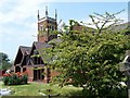
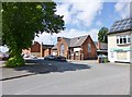
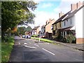
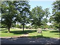
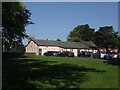
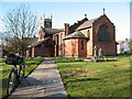
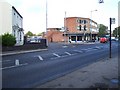
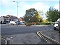
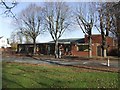
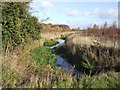
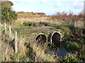
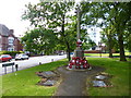
30 photos from this area
Area Information
Key information about the WS3 4EE including its size, population, and administrative classification.
- Area Type
- Postcode
- Area Size
- 1.6 hectares
- Population
- 1244
- Population Density
- 3717 people/km²
House Prices in WS3 4EE
59
Properties
£105,527
Average Sold Price
£41,000
Lowest Price
£231,000
Highest Price
Showing 59 properties
| Address | Type | Beds | Baths | Last Sale Price | Last Sale Date | |
|---|---|---|---|---|---|---|
| 50 Copse Crescent, Pelsall, WS3 4EE | Terraced | 3 | 1 | £231,000 | Jan 2024 | |
| 52 Copse Crescent, Pelsall, WS3 4EE | house | - | - | £180,000 | Jun 2021 | |
| 41 Copse Crescent, Pelsall, WS3 4EE | house | - | - | £150,000 | Jun 2020 | |
| 79 Copse Crescent, Pelsall, WS3 4EE | Semi-detached | 3 | 1 | £155,000 | Feb 2019 | |
| 29 Copse Crescent, Pelsall, WS3 4EE | Flat | - | - | £95,000 | Feb 2018 | |
| 39 Copse Crescent, Pelsall, WS3 4EE | Flat | - | - | £90,000 | Feb 2018 | |
| 63 Copse Crescent, Pelsall, WS3 4EE | Terraced | 3 | 1 | £105,000 | Mar 2016 | |
| 73 Copse Crescent, Pelsall, WS3 4EE | house | - | - | £152,950 | Apr 2012 | |
| 60 Copse Crescent, Pelsall, WS3 4EE | house | 3 | - | £125,000 | Dec 2010 | |
| 49 Copse Crescent, Pelsall, WS3 4EE | Semi-detached | - | - | £120,000 | Sep 2006 |
Page 1 of 6
Energy Efficiency in WS3 4EE
Amenities
Schools
| Rank | School | Type | Entry gender | Ages |
|---|
Explore more schools in this area
Go to Schools tabDemographics
Household Size
One person
most common
Accommodation Type
Houses
most common
Tenure
59
majority
Ethnic Group
White
most common
Religion
N/A
most common
Household Composition
N/A
most common
Age
47
median
Adults (30-64 years)
most common
Household Deprivation
N/A
with no deprivation
NS-SEC
24
in Lower managerial occupations
Explore more demographic insights in this area
Go to Demographics tabPlanning
Planning Constraints
- Flood RiskPremium
- Ramsar Wetland SitesPremium
- Area of Outstanding Natural BeautyPremium
- Protected Nature ReservePremium
- Protected WoodlandPremium