Area Overview for WS3 4AX
Photos of WS3 4AX
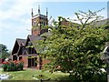
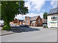
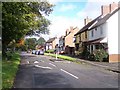
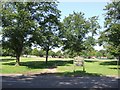
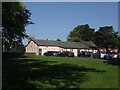


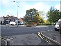

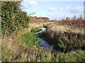
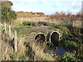
30 photos from this area
Area Information
Key information about the WS3 4AX including its size, population, and administrative classification.
- Area Type
- Postcode
- Area Size
- 1.2 hectares
- Population
- 1244
- Population Density
- 3717 people/km²
House Prices in WS3 4AX
22
Properties
£80,564
Average Sold Price
£32,000
Lowest Price
£187,000
Highest Price
Showing 22 properties
| Address | Type | Beds | Baths | Last Sale Price | Last Sale Date | |
|---|---|---|---|---|---|---|
| 51A Norton Road, Pelsall, WS3 4AX | Semi-detached | 2 | 1 | £187,000 | Dec 2024 | |
| 52 Norton Road, Pelsall, WS3 4AX | Terraced | 3 | 1 | £125,500 | Feb 2016 | |
| 46 Norton Road, Pelsall, WS3 4AX | house | - | - | £75,000 | Jun 2014 | |
| 49 Norton Road, Pelsall, WS3 4AX | Terraced | - | - | £32,000 | Oct 2002 | |
| 51 Norton Road, Pelsall, WS3 4AX | Terraced | - | - | £54,950 | Jan 2000 | |
| 41 Norton Road, Pelsall, WS3 4AX | house | - | - | £52,000 | Jul 1996 | |
| 50 Norton Road, Pelsall, WS3 4AX | Terraced | - | - | £37,500 | Feb 1995 | |
| 45 Norton Road, Pelsall, WS3 4AX | Terraced | 2 | 1 | - | - | |
| Living Area, 38-39 Norton Road, Pelsall, WS3 4AX | Flat | - | - | - | - | |
| Flat Above, 40 Norton Road, Pelsall, WS3 4AX | Flat | - | - | - | - |
Page 1 of 3
Energy Efficiency in WS3 4AX
Amenities
Schools
| Rank | School | Type | Entry gender | Ages |
|---|
Explore more schools in this area
Go to Schools tabDemographics
Household Size
One person
most common
Accommodation Type
Houses
most common
Tenure
59
majority
Ethnic Group
White
most common
Religion
N/A
most common
Household Composition
N/A
most common
Age
47
median
Adults (30-64 years)
most common
Household Deprivation
N/A
with no deprivation
NS-SEC
24
in Lower managerial occupations
Explore more demographic insights in this area
Go to Demographics tabPlanning
Planning Constraints
- Flood RiskPremium
- Ramsar Wetland SitesPremium
- Area of Outstanding Natural BeautyPremium
- Protected Nature ReservePremium
- Protected WoodlandPremium