Area Overview for WS3 4AB
Photos of WS3 4AB
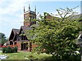
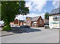
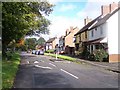
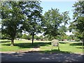
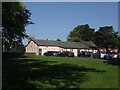
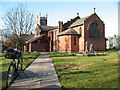
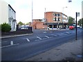
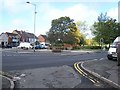
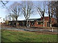
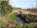
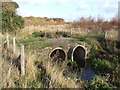
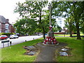
30 photos from this area
Area Information
Key information about the WS3 4AB including its size, population, and administrative classification.
- Area Type
- Postcode
- Area Size
- 1.5 hectares
- Population
- 1476
- Population Density
- 4904 people/km²
House Prices in WS3 4AB
28
Properties
£168,583
Average Sold Price
£59,000
Lowest Price
£290,000
Highest Price
Showing 28 properties
| Address | Type | Beds | Baths | Last Sale Price | Last Sale Date | |
|---|---|---|---|---|---|---|
| 60 Wolverhampton Road, Pelsall, WS3 4AB | Detached | 3 | 1 | £225,000 | Dec 2025 | |
| 48 Wolverhampton Road, Pelsall, WS3 4AB | Semi-detached | 3 | 2 | £210,000 | Oct 2022 | |
| 40 Wolverhampton Road, Pelsall, WS3 4AB | Semi-detached | 3 | 1 | £188,000 | Apr 2022 | |
| 38 Wolverhampton Road, Pelsall, WS3 4AB | Semi-detached | 3 | 1 | £190,000 | Mar 2022 | |
| 42 Wolverhampton Road, Pelsall, WS3 4AB | house | - | - | £137,500 | Oct 2019 | |
| 24 Wolverhampton Road, Pelsall, WS3 4AB | house | - | - | £290,000 | Jul 2019 | |
| 22 Wolverhampton Road, Pelsall, WS3 4AB | Semi-detached | 4 | 1 | £246,000 | Dec 2016 | |
| 44 Wolverhampton Road, Pelsall, WS3 4AB | Semi-detached | 3 | 1 | £126,500 | Jul 2016 | |
| 14 Wolverhampton Road, Pelsall, WS3 4AB | Bungalow | - | - | £180,000 | Nov 2009 | |
| 70 Wolverhampton Road, Pelsall, WS3 4AB | house | - | - | £101,000 | Jun 2007 |
Page 1 of 3
Energy Efficiency in WS3 4AB
Amenities
Schools
| Rank | School | Type | Entry gender | Ages |
|---|
Explore more schools in this area
Go to Schools tabDemographics
Household Size
Family (3-5 people)
most common
Accommodation Type
Houses
most common
Tenure
47
majority
Ethnic Group
White
most common
Religion
N/A
most common
Household Composition
N/A
most common
Age
47
median
Adults (30-64 years)
most common
Household Deprivation
N/A
with no deprivation
NS-SEC
18
in Lower managerial occupations
Explore more demographic insights in this area
Go to Demographics tabPlanning
Planning Constraints
- Flood RiskPremium
- Ramsar Wetland SitesPremium
- Area of Outstanding Natural BeautyPremium
- Protected Nature ReservePremium
- Protected WoodlandPremium