Area Overview for WS3 3NJ
Photos of WS3 3NJ
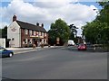
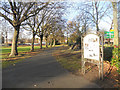
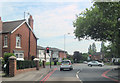
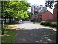
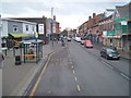
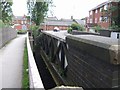
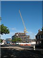
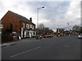
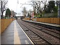
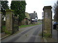
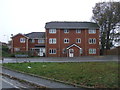
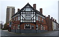
52 photos from this area
Area Information
Key information about the WS3 3NJ including its size, population, and administrative classification.
- Area Type
- Postcode
- Area Size
- 2.9 hectares
- Population
- 1949
- Population Density
- 3374 people/km²
House Prices in WS3 3NJ
33
Properties
£267,737
Average Sold Price
£118,000
Lowest Price
£480,000
Highest Price
Showing 33 properties
| Address | Type | Beds | Baths | Last Sale Price | Last Sale Date | |
|---|---|---|---|---|---|---|
| 53A Stafford Road, Bloxwich, WS3 3NJ | Detached | 4 | 2 | £450,000 | Aug 2024 | |
| 11A Stafford Road, Bloxwich, WS3 3NJ | Bungalow | 2 | 2 | £325,000 | Feb 2023 | |
| 47 Stafford Road, Bloxwich, WS3 3NJ | house | - | - | £470,000 | Aug 2022 | |
| 65 Stafford Road, Bloxwich, WS3 3NJ | house | - | - | £468,000 | Jul 2022 | |
| 5 Stafford Road, Bloxwich, WS3 3NJ | Terraced | 2 | 1 | £130,000 | Aug 2021 | |
| 7 Stafford Road, Bloxwich, WS3 3NJ | Terraced | 3 | 1 | £170,000 | Jun 2020 | |
| 49 Stafford Road, Bloxwich, WS3 3NJ | house | - | - | £249,000 | Jan 2020 | |
| 59 Stafford Road, Bloxwich, WS3 3NJ | Detached | 4 | 2 | £355,000 | Nov 2018 | |
| 55 Stafford Road, Bloxwich, WS3 3NJ | Bungalow | 2 | 1 | £230,000 | Jun 2016 | |
| 37 Stafford Road, Bloxwich, WS3 3NJ | house | - | - | £230,000 | Jan 2015 |
Page 1 of 4
Energy Efficiency in WS3 3NJ
Amenities
Schools
| Rank | School | Type | Entry gender | Ages |
|---|
Explore more schools in this area
Go to Schools tabDemographics
Household Size
One person
most common
Accommodation Type
Houses
most common
Tenure
39
majority
Ethnic Group
White
most common
Religion
N/A
most common
Household Composition
N/A
most common
Age
47
median
Adults (30-64 years)
most common
Household Deprivation
N/A
with no deprivation
NS-SEC
20
in Lower managerial occupations
Explore more demographic insights in this area
Go to Demographics tabPlanning
Planning Constraints
- Flood RiskPremium
- Ramsar Wetland SitesPremium
- Area of Outstanding Natural BeautyPremium
- Protected Nature ReservePremium
- Protected WoodlandPremium