Area Overview for WS3 2UJ
Photos of WS3 2UJ
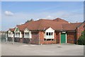
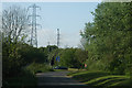
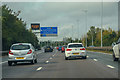
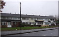
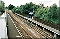
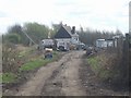
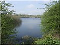
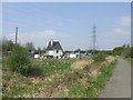
18 photos from this area
Area Information
Key information about the WS3 2UJ including its size, population, and administrative classification.
- Area Type
- Postcode
- Area Size
- 3467 m²
- Population
- 1582
- Population Density
- 5728 people/km²
House Prices in WS3 2UJ
8
Properties
£133,333
Average Sold Price
£88,000
Lowest Price
£190,000
Highest Price
Showing 8 properties
| Address | Type | Beds | Baths | Last Sale Price | Last Sale Date | |
|---|---|---|---|---|---|---|
| 45 Cresswell Crescent, Bloxwich, WS3 2UJ | Semi-detached | 3 | 1 | £190,000 | Apr 2025 | |
| 43 Cresswell Crescent, Bloxwich, WS3 2UJ | Terraced | 2 | 1 | £122,000 | Jan 2019 | |
| 47 Cresswell Crescent, Bloxwich, WS3 2UJ | house | 3 | - | £88,000 | Feb 2012 | |
| 39 Cresswell Crescent, Bloxwich, WS3 2UJ | Terraced | 3 | 1 | - | - | |
| 49 Cresswell Crescent, Bloxwich, WS3 2UJ | Detached | 3 | 1 | - | - | |
| 41 Cresswell Crescent, Bloxwich, WS3 2UJ | Terraced | - | - | - | - | |
| 51 Cresswell Crescent, Bloxwich, WS3 2UJ | Terraced | - | - | - | - | |
| 37 Cresswell Crescent, Bloxwich, WS3 2UJ | house | 3 | - | - | - |
Energy Efficiency in WS3 2UJ
Amenities
Schools
| Rank | School | Type | Entry gender | Ages |
|---|
Explore more schools in this area
Go to Schools tabDemographics
Household Size
Family (3-5 people)
most common
Accommodation Type
Houses
most common
Tenure
50
majority
Ethnic Group
White
most common
Religion
N/A
most common
Household Composition
N/A
most common
Age
47
median
Adults (30-64 years)
most common
Household Deprivation
N/A
with no deprivation
NS-SEC
12
in Lower managerial occupations
Explore more demographic insights in this area
Go to Demographics tabPlanning
Planning Constraints
- Flood RiskPremium
- Ramsar Wetland SitesPremium
- Area of Outstanding Natural BeautyPremium
- Protected Nature ReservePremium
- Protected WoodlandPremium