Area Overview for WS2 8NH
Photos of WS2 8NH
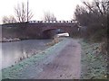
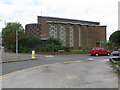
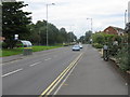
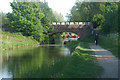
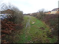
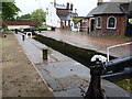
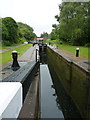
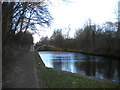
54 photos from this area
Area Information
Key information about the WS2 8NH including its size, population, and administrative classification.
- Area Type
- Postcode
- Area Size
- 1.7 hectares
- Population
- 2196
- Population Density
- 2722 people/km²
House Prices in WS2 8NH
44
Properties
£54,700
Average Sold Price
£13,300
Lowest Price
£150,000
Highest Price
Showing 44 properties
| Address | Type | Beds | Baths | Last Sale Price | Last Sale Date | |
|---|---|---|---|---|---|---|
| 104 Farringdon Street, Walsall, WS2 8NH | house | - | - | £150,000 | May 2022 | |
| 108 Farringdon Street, Walsall, WS2 8NH | Terraced | - | - | £95,000 | Apr 2022 | |
| 100 Farringdon Street, Walsall, WS2 8NH | house | - | - | £75,000 | Jul 2017 | |
| 126 Farringdon Street, Walsall, WS2 8NH | Terraced | 3 | - | £77,500 | Apr 2015 | |
| 48 Farringdon Street, Walsall, WS2 8NH | Terraced | 2 | - | £63,500 | Feb 2015 | |
| 80 Farringdon Street, Walsall, WS2 8NH | house | - | - | £63,750 | Jun 2005 | |
| 94 Farringdon Street, Walsall, WS2 8NH | house | - | - | £87,000 | Sep 2004 | |
| 118 Farringdon Street, Walsall, WS2 8NH | house | - | - | £68,000 | Jul 2003 | |
| 74 Farringdon Street, Walsall, WS2 8NH | house | - | - | £48,000 | Apr 2003 | |
| 96 Farringdon Street, Walsall, WS2 8NH | house | - | - | £36,000 | Apr 2002 |
Page 1 of 5
Energy Efficiency in WS2 8NH
Amenities
Schools
| Rank | School | Type | Entry gender | Ages |
|---|
Explore more schools in this area
Go to Schools tabDemographics
Household Size
One person
most common
Accommodation Type
Flats
most common
Tenure
17
majority
Ethnic Group
White
most common
Religion
N/A
most common
Household Composition
N/A
most common
Age
47
median
Adults (30-64 years)
most common
Household Deprivation
N/A
with no deprivation
NS-SEC
14
in Lower managerial occupations
Explore more demographic insights in this area
Go to Demographics tabPlanning
Planning Constraints
- Flood RiskPremium
- Ramsar Wetland SitesPremium
- Area of Outstanding Natural BeautyPremium
- Protected Nature ReservePremium
- Protected WoodlandPremium