Area Overview for WS15 4RJ
Photos of WS15 4RJ
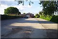
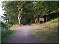
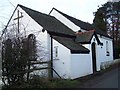
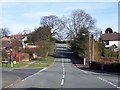
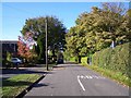
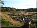
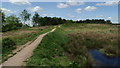

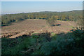
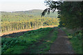
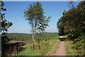

63 photos from this area
Area Information
Key information about the WS15 4RJ including its size, population, and administrative classification.
- Area Type
- Postcode
- Area Size
- 1.2 hectares
- Population
- 1634
- Population Density
- 203 people/km²
House Prices in WS15 4RJ
32
Properties
£138,625
Average Sold Price
£44,000
Lowest Price
£280,000
Highest Price
Showing 32 properties
| Address | Type | Beds | Baths | Last Sale Price | Last Sale Date | |
|---|---|---|---|---|---|---|
| 19 High Meadow, Cannock Wood, Cannock, WS15 4RJ | Semi-detached | 3 | 2 | £280,000 | Oct 2023 | |
| 16 High Meadow, Cannock Wood, Cannock, WS15 4RJ | Retail | 2 | - | £198,000 | Jun 2022 | |
| 20 High Meadow, Cannock Wood, Cannock, WS15 4RJ | Semi-detached | 2 | 1 | £142,000 | Oct 2018 | |
| 24 High Meadow, Cannock Wood, Cannock, WS15 4RJ | Semi-detached | 2 | 1 | £130,000 | Jun 2015 | |
| 29 High Meadow, Cannock Wood, Cannock, WS15 4RJ | house | 3 | - | £110,000 | Mar 2008 | |
| 28 High Meadow, Cannock Wood, Cannock, WS15 4RJ | house | - | - | £120,000 | Oct 2006 | |
| 27 High Meadow, Cannock Wood, Cannock, WS15 4RJ | Semi-detached | - | - | £85,000 | Jul 2003 | |
| 32 High Meadow, Cannock Wood, Cannock, WS15 4RJ | house | - | - | £44,000 | May 1997 | |
| 26 High Meadow, Cannock Wood, Cannock, WS15 4RJ | Semi-detached | 2 | 1 | - | - | |
| 8 High Meadow, Cannock Wood, Cannock, WS15 4RJ | Flat | 2 | - | - | - |
Page 1 of 4
Energy Efficiency in WS15 4RJ
Amenities
Schools
| Rank | School | Type | Entry gender | Ages |
|---|
Explore more schools in this area
Go to Schools tabDemographics
Household Size
Two person
most common
Accommodation Type
Houses
most common
Tenure
77
majority
Ethnic Group
White
most common
Religion
N/A
most common
Household Composition
N/A
most common
Age
47
median
Adults (30-64 years)
most common
Household Deprivation
N/A
with no deprivation
NS-SEC
39
in Lower managerial occupations
Explore more demographic insights in this area
Go to Demographics tabPlanning
Planning Constraints
- Flood RiskPremium
- Ramsar Wetland SitesPremium
- Area of Outstanding Natural BeautyPremium
- Protected Nature ReservePremium
- Protected WoodlandPremium