Area Overview for WS15 2XW
Photos of WS15 2XW
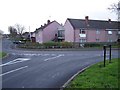
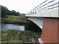
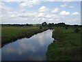
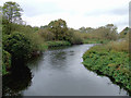
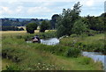
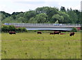
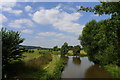
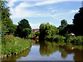
62 photos from this area
Area Information
Key information about the WS15 2XW including its size, population, and administrative classification.
- Area Type
- Postcode
- Area Size
- 8194 m²
- Population
- 1489
- Population Density
- 6644 people/km²
House Prices in WS15 2XW
29
Properties
£169,606
Average Sold Price
£40,500
Lowest Price
£282,500
Highest Price
Showing 29 properties
| Address | Type | Beds | Baths | Last Sale Price | Last Sale Date | |
|---|---|---|---|---|---|---|
| 34 Pine View, Etchinghill, Rugeley, WS15 2XW | Semi-detached | 3 | 1 | £235,000 | Dec 2024 | |
| 4 Pine View, Etchinghill, Rugeley, WS15 2XW | Semi-detached | 3 | 1 | £258,000 | Nov 2024 | |
| 24 Pine View, Etchinghill, Rugeley, WS15 2XW | Semi-detached | 3 | 1 | £180,000 | Jun 2023 | |
| 19 Pine View, Etchinghill, Rugeley, WS15 2XW | house | 3 | 1 | £240,000 | Jun 2023 | |
| 2 Pine View, Etchinghill, Rugeley, WS15 2XW | Semi-detached | 3 | 1 | £257,500 | May 2023 | |
| 20 Pine View, Etchinghill, Rugeley, WS15 2XW | Semi-detached | 3 | 1 | £175,000 | Mar 2023 | |
| 6 Pine View, Etchinghill, Rugeley, WS15 2XW | house | 3 | 1 | £282,500 | Jan 2023 | |
| 11 Pine View, Etchinghill, Rugeley, WS15 2XW | house | - | - | £201,000 | Nov 2022 | |
| 10 Pine View, Etchinghill, Rugeley, WS15 2XW | house | - | - | £205,000 | Sep 2021 | |
| 8 Pine View, Etchinghill, Rugeley, WS15 2XW | house | - | - | £178,000 | Dec 2020 |
Page 1 of 3
Energy Efficiency in WS15 2XW
Amenities
Schools
| Rank | School | Type | Entry gender | Ages |
|---|
Explore more schools in this area
Go to Schools tabDemographics
Household Size
Two person
most common
Accommodation Type
Houses
most common
Tenure
77
majority
Ethnic Group
White
most common
Religion
N/A
most common
Household Composition
N/A
most common
Age
47
median
Adults (30-64 years)
most common
Household Deprivation
N/A
with no deprivation
NS-SEC
26
in Lower managerial occupations
Explore more demographic insights in this area
Go to Demographics tabPlanning
Planning Constraints
- Flood RiskPremium
- Ramsar Wetland SitesPremium
- Area of Outstanding Natural BeautyPremium
- Protected Nature ReservePremium
- Protected WoodlandPremium