Area Overview for WS14 0JF
Photos of WS14 0JF
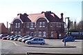
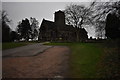
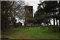
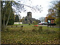
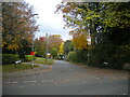
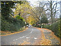
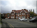
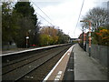
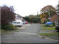
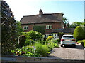
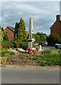
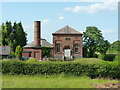
43 photos from this area
Area Information
Key information about the WS14 0JF including its size, population, and administrative classification.
- Area Type
- Postcode
- Area Size
- 2.6 hectares
- Population
- 1725
- Population Density
- 150 people/km²
House Prices in WS14 0JF
19
Properties
£900,600
Average Sold Price
£290,000
Lowest Price
£1,301,000
Highest Price
Showing 19 properties
| Address | Type | Beds | Baths | Last Sale Price | Last Sale Date | |
|---|---|---|---|---|---|---|
| 19 Holly Hill Road, Shenstone, Lichfield, WS14 0JF | Bungalow | 4 | - | £1,110,000 | Aug 2022 | |
| 3 Holly Hill Road, Shenstone, Lichfield, WS14 0JF | house | - | - | £1,000,000 | Sep 2021 | |
| 21 Holly Hill Road, Shenstone, Lichfield, WS14 0JF | house | - | - | £1,250,000 | Apr 2021 | |
| Dovedale House, Holly Hill Road, Shenstone, Lichfield, WS14 0JF | Detached | 5 | 5 | £1,300,000 | Sep 2020 | |
| 9 Holly Hill Road, Shenstone, Lichfield, WS14 0JF | Detached | 5 | 4 | £800,000 | Sep 2019 | |
| 17 Holly Hill Road, Shenstone, Lichfield, WS14 0JF | house | 3 | - | £1,301,000 | Aug 2019 | |
| 16 Holly Hill Road, Shenstone, Lichfield, WS14 0JF | Detached | 5 | 4 | £1,200,000 | Aug 2017 | |
| 7 Holly Hill Road, Shenstone, Lichfield, WS14 0JF | house | - | - | £655,000 | Jun 2016 | |
| 1A Holly Hill Road, Shenstone, Lichfield, WS14 0JF | Flat | - | - | £920,000 | Sep 2015 | |
| 5 Holly Hill Road, Shenstone, Lichfield, WS14 0JF | Detached | 5 | - | £778,000 | Nov 2013 |
Page 1 of 2
Energy Efficiency in WS14 0JF
Amenities
Schools
| Rank | School | Type | Entry gender | Ages |
|---|
Explore more schools in this area
Go to Schools tabDemographics
Household Size
Two person
most common
Accommodation Type
Houses
most common
Tenure
86
majority
Ethnic Group
White
most common
Religion
N/A
most common
Household Composition
N/A
most common
Age
47
median
Adults (30-64 years)
most common
Household Deprivation
N/A
with no deprivation
NS-SEC
48
in Lower managerial occupations
Explore more demographic insights in this area
Go to Demographics tabPlanning
Planning Constraints
- Flood RiskPremium
- Ramsar Wetland SitesPremium
- Area of Outstanding Natural BeautyPremium
- Protected Nature ReservePremium
- Protected WoodlandPremium