Area Overview for WS13 8EW
Photos of WS13 8EW
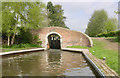
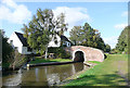
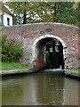
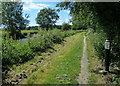
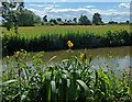
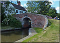
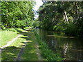
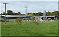
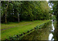
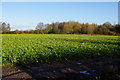
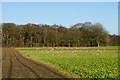
81 photos from this area
Area Information
Key information about the WS13 8EW including its size, population, and administrative classification.
- Area Type
- Postcode
- Area Size
- 1.1 km²
- Population
- 1694
- Population Density
- 53 people/km²
House Prices in WS13 8EW
9
Properties
£244,827
Average Sold Price
£119,653
Lowest Price
£370,000
Highest Price
Showing 9 properties
| Address | Type | Beds | Baths | Last Sale Price | Last Sale Date | |
|---|---|---|---|---|---|---|
| The Cottage, Wood End Lane, Fradley, Lichfield, WS13 8EW | house | - | - | £370,000 | Sep 2007 | |
| Wood End Barn, Wood End Lane, Fradley, Lichfield, WS13 8EW | Terraced | - | - | £119,653 | Feb 1998 | |
| Wood End Farmhouse, Wood End Lane, Fradley, Lichfield, WS13 8EW | house | - | - | - | - | |
| Wood End Farm, Wood End Lane, Fradley, Lichfield, WS13 8EW | Farm | - | - | - | - | |
| The Old Stable, Wood End Lane, Fradley, Lichfield, WS13 8EW | house | - | - | - | - | |
| 1, Wood End Cottages, Wood End Lane, Fradley, Lichfield, WS13 8EW | Terraced | - | - | - | - | |
| 2, Wood End Cottages, Wood End Lane, Fradley, Lichfield, WS13 8EW | Terraced | - | - | - | - | |
| Lock Cottage, Wood End Lane, Fradley, Lichfield, WS13 8EW | house | - | - | - | - | |
| The Old Cart House, Wood End Lane, Fradley, Lichfield, WS13 8EW | Cottage | 2 | - | - | - |
Energy Efficiency in WS13 8EW
Amenities
Schools
| Rank | School | Type | Entry gender | Ages |
|---|
Explore more schools in this area
Go to Schools tabDemographics
Household Size
Two person
most common
Accommodation Type
Houses
most common
Tenure
84
majority
Ethnic Group
White
most common
Religion
N/A
most common
Household Composition
N/A
most common
Age
47
median
Adults (30-64 years)
most common
Household Deprivation
N/A
with no deprivation
NS-SEC
43
in Lower managerial occupations
Explore more demographic insights in this area
Go to Demographics tabPlanning
Planning Constraints
- Flood RiskPremium
- Ramsar Wetland SitesPremium
- Area of Outstanding Natural BeautyPremium
- Protected Nature ReservePremium
- Protected WoodlandPremium