Area Overview for WS13 8AL
Photos of WS13 8AL
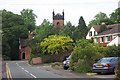

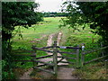
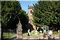
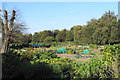
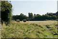
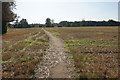
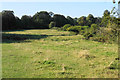
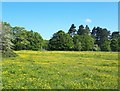

35 photos from this area
Area Information
Key information about the WS13 8AL including its size, population, and administrative classification.
- Area Type
- Postcode
- Area Size
- 1.6 hectares
- Population
- 2164
- Population Density
- 1019 people/km²
House Prices in WS13 8AL
35
Properties
£329,359
Average Sold Price
£62,700
Lowest Price
£725,000
Highest Price
Showing 35 properties
| Address | Type | Beds | Baths | Last Sale Price | Last Sale Date | |
|---|---|---|---|---|---|---|
| 106 Christ Church Lane, Lichfield, WS13 8AL | Detached | 2 | 2 | £480,000 | Jun 2023 | |
| Easter Hill, Christ Church Lane, Lichfield, WS13 8AL | Semi-detached | - | - | £725,000 | Sep 2021 | |
| Christchurch Pines, 93 Christ Church Lane, Lichfield, WS13 8AL | Detached | 4 | 3 | £635,000 | Apr 2019 | |
| Easter Hill Gardens, Christ Church Lane, Lichfield, WS13 8AL | house | - | - | £715,000 | Apr 2019 | |
| 97 Christ Church Lane, Lichfield, WS13 8AL | Semi-detached | 2 | 2 | £422,500 | Feb 2018 | |
| 90 Christ Church Lane, Lichfield, WS13 8AL | Terraced | 3 | - | £292,600 | Sep 2016 | |
| 102 Christ Church Lane, Lichfield, WS13 8AL | Terraced | 2 | - | £169,000 | Oct 2014 | |
| 104 Christ Church Lane, Lichfield, WS13 8AL | Terraced | 3 | - | £280,000 | Jun 2014 | |
| 91 Christ Church Lane, Lichfield, WS13 8AL | house | - | - | £215,000 | Mar 2013 | |
| 98 Christ Church Lane, Lichfield, WS13 8AL | house | - | - | £220,000 | Nov 2012 |
Page 1 of 4
Energy Efficiency in WS13 8AL
Amenities
Schools
| Rank | School | Type | Entry gender | Ages |
|---|
Explore more schools in this area
Go to Schools tabDemographics
Household Size
Family (3-5 people)
most common
Accommodation Type
Houses
most common
Tenure
78
majority
Ethnic Group
White
most common
Religion
N/A
most common
Household Composition
N/A
most common
Age
47
median
Adults (30-64 years)
most common
Household Deprivation
N/A
with no deprivation
NS-SEC
52
in Lower managerial occupations
Explore more demographic insights in this area
Go to Demographics tabPlanning
Planning Constraints
- Flood RiskPremium
- Ramsar Wetland SitesPremium
- Area of Outstanding Natural BeautyPremium
- Protected Nature ReservePremium
- Protected WoodlandPremium