Area Overview for WS13 7QW
Photos of WS13 7QW
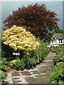
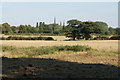
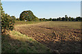
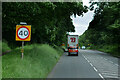
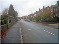
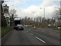
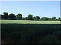
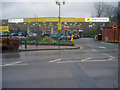
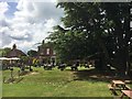
15 photos from this area
Area Information
Key information about the WS13 7QW including its size, population, and administrative classification.
- Area Type
- Postcode
- Area Size
- 3222 m²
- Population
- 1756
- Population Density
- 5273 people/km²
House Prices in WS13 7QW
16
Properties
£168,090
Average Sold Price
£64,950
Lowest Price
£312,500
Highest Price
Showing 16 properties
| Address | Type | Beds | Baths | Last Sale Price | Last Sale Date | |
|---|---|---|---|---|---|---|
| 18 Wheel Lane, Lichfield, WS13 7QW | house | 2 | 1 | £312,500 | Sep 2023 | |
| 34 Wheel Lane, Lichfield, WS13 7QW | Terraced | 2 | 1 | £225,000 | Aug 2023 | |
| 20 Wheel Lane, Lichfield, WS13 7QW | Terraced | 3 | 1 | £295,000 | Oct 2022 | |
| 40 Wheel Lane, Lichfield, WS13 7QW | Flat | 1 | - | £121,500 | Aug 2021 | |
| 38 Wheel Lane, Lichfield, WS13 7QW | Detached | 3 | 1 | £250,000 | Nov 2020 | |
| 14 Wheel Lane, Lichfield, WS13 7QW | house | - | - | £220,000 | Jan 2019 | |
| 36 Wheel Lane, Lichfield, WS13 7QW | Terraced | 3 | 1 | £240,000 | Dec 2017 | |
| 28 Wheel Lane, Lichfield, WS13 7QW | house | - | - | £142,500 | Dec 2009 | |
| 10 Wheel Lane, Lichfield, WS13 7QW | Semi-detached | - | - | £197,500 | Aug 2007 | |
| 22 Wheel Lane, Lichfield, WS13 7QW | Terraced | 2 | 1 | £105,000 | May 2002 |
Page 1 of 2
Energy Efficiency in WS13 7QW
Amenities
Schools
| Rank | School | Type | Entry gender | Ages |
|---|
Explore more schools in this area
Go to Schools tabDemographics
Household Size
Two person
most common
Accommodation Type
Houses
most common
Tenure
66
majority
Ethnic Group
White
most common
Religion
N/A
most common
Household Composition
N/A
most common
Age
47
median
Adults (30-64 years)
most common
Household Deprivation
N/A
with no deprivation
NS-SEC
37
in Lower managerial occupations
Explore more demographic insights in this area
Go to Demographics tabPlanning
Planning Constraints
- Flood RiskPremium
- Ramsar Wetland SitesPremium
- Area of Outstanding Natural BeautyPremium
- Protected Nature ReservePremium
- Protected WoodlandPremium