Area Overview for WS13 7BU
Photos of WS13 7BU
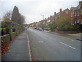
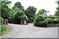
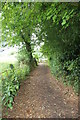
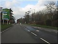
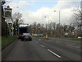
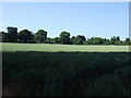
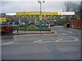
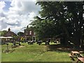
15 photos from this area
Area Information
Key information about the WS13 7BU including its size, population, and administrative classification.
- Area Type
- Postcode
- Area Size
- 6588 m²
- Population
- 1572
- Population Density
- 3282 people/km²
House Prices in WS13 7BU
14
Properties
£266,500
Average Sold Price
£74,000
Lowest Price
£395,495
Highest Price
Showing 14 properties
| Address | Type | Beds | Baths | Last Sale Price | Last Sale Date | |
|---|---|---|---|---|---|---|
| 28 Lynfield Road, Lichfield, WS13 7BU | Semi-detached | 3 | 1 | £395,495 | Apr 2024 | |
| 25 Lynfield Road, Lichfield, WS13 7BU | Semi-detached | 3 | 1 | £372,500 | May 2022 | |
| 21 Lynfield Road, Lichfield, WS13 7BU | Retail | 3 | 1 | £295,000 | May 2022 | |
| 27 Lynfield Road, Lichfield, WS13 7BU | house | - | - | £292,500 | Jul 2020 | |
| 36 Lynfield Road, Lichfield, WS13 7BU | house | - | - | £285,000 | Jun 2018 | |
| 31 Lynfield Road, Lichfield, WS13 7BU | Detached | 4 | - | £340,000 | Jul 2016 | |
| 30 Lynfield Road, Lichfield, WS13 7BU | Semi-detached | 3 | - | £245,500 | Jul 2015 | |
| 38 Lynfield Road, Lichfield, WS13 7BU | Detached | 3 | - | £202,000 | Mar 2014 | |
| 29 Lynfield Road, Lichfield, WS13 7BU | Detached | - | - | £163,000 | Apr 2001 | |
| 19 Lynfield Road, Lichfield, WS13 7BU | Semi-detached | - | - | £74,000 | Jun 1995 |
Page 1 of 2
Energy Efficiency in WS13 7BU
Amenities
Schools
| Rank | School | Type | Entry gender | Ages |
|---|
Explore more schools in this area
Go to Schools tabDemographics
Household Size
Two person
most common
Accommodation Type
Houses
most common
Tenure
87
majority
Ethnic Group
White
most common
Religion
N/A
most common
Household Composition
N/A
most common
Age
47
median
Adults (30-64 years)
most common
Household Deprivation
N/A
with no deprivation
NS-SEC
45
in Lower managerial occupations
Explore more demographic insights in this area
Go to Demographics tabPlanning
Planning Constraints
- Flood RiskPremium
- Ramsar Wetland SitesPremium
- Area of Outstanding Natural BeautyPremium
- Protected Nature ReservePremium
- Protected WoodlandPremium