Area Overview for WS13 6PA
Photos of WS13 6PA
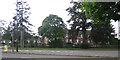
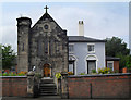
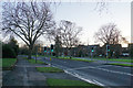
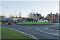
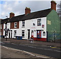
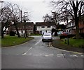
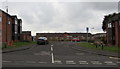
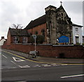
74 photos from this area
Area Information
Key information about the WS13 6PA including its size, population, and administrative classification.
- Area Type
- Postcode
- Area Size
- 1.3 hectares
- Population
- 2037
- Population Density
- 6362 people/km²
House Prices in WS13 6PA
43
Properties
£212,613
Average Sold Price
£86,995
Lowest Price
£360,000
Highest Price
Showing 43 properties
| Address | Type | Beds | Baths | Last Sale Price | Last Sale Date | |
|---|---|---|---|---|---|---|
| 26 Sainte Foy Avenue, Lichfield, WS13 6PA | Semi-detached | 3 | 2 | £340,000 | May 2025 | |
| 46 Sainte Foy Avenue, Lichfield, WS13 6PA | Terraced | 2 | 1 | £237,000 | Mar 2024 | |
| 34 Sainte Foy Avenue, Lichfield, WS13 6PA | Terraced | 3 | 2 | £277,500 | Dec 2023 | |
| 28 Sainte Foy Avenue, Lichfield, WS13 6PA | Semi-detached | 3 | 2 | £360,000 | Sep 2022 | |
| 62 Sainte Foy Avenue, Lichfield, WS13 6PA | house | - | - | £298,500 | Sep 2022 | |
| 56 Sainte Foy Avenue, Lichfield, WS13 6PA | Terraced | 2 | 1 | £237,500 | Sep 2022 | |
| 94 Sainte Foy Avenue, Lichfield, WS13 6PA | house | - | - | £285,000 | Mar 2022 | |
| 48 Sainte Foy Avenue, Lichfield, WS13 6PA | house | 2 | 1 | £208,000 | Aug 2021 | |
| 30 Sainte Foy Avenue, Lichfield, WS13 6PA | house | - | - | £245,000 | Jun 2021 | |
| 24 Sainte Foy Avenue, Lichfield, WS13 6PA | Terraced | 3 | 2 | £272,000 | May 2021 |
Page 1 of 5
Energy Efficiency in WS13 6PA
Amenities
Schools
| Rank | School | Type | Entry gender | Ages |
|---|
Explore more schools in this area
Go to Schools tabDemographics
Household Size
Family (3-5 people)
most common
Accommodation Type
Houses
most common
Tenure
59
majority
Ethnic Group
White
most common
Religion
N/A
most common
Household Composition
N/A
most common
Age
47
median
Adults (30-64 years)
most common
Household Deprivation
N/A
with no deprivation
NS-SEC
53
in Lower managerial occupations
Explore more demographic insights in this area
Go to Demographics tabPlanning
Planning Constraints
- Flood RiskPremium
- Ramsar Wetland SitesPremium
- Area of Outstanding Natural BeautyPremium
- Protected Nature ReservePremium
- Protected WoodlandPremium