Area Overview for WS13 6AQ
Photos of WS13 6AQ

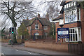
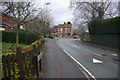
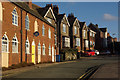
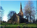
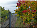
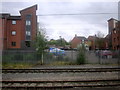
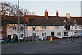
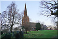
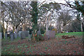

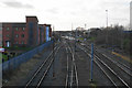
58 photos from this area
Area Information
Key information about the WS13 6AQ including its size, population, and administrative classification.
- Area Type
- Postcode
- Area Size
- 1.1 hectares
- Population
- 1652
- Population Density
- 2386 people/km²
House Prices in WS13 6AQ
57
Properties
£145,247
Average Sold Price
£33,000
Lowest Price
£270,000
Highest Price
Showing 57 properties
| Address | Type | Beds | Baths | Last Sale Price | Last Sale Date | |
|---|---|---|---|---|---|---|
| 18 Stowe Street, Lichfield, WS13 6AQ | Terraced | 3 | 2 | £270,000 | Aug 2023 | |
| 22 Stowe Street, Lichfield, WS13 6AQ | Retail | 3 | 1 | £245,000 | Dec 2022 | |
| 6 Stowe Street, Lichfield, WS13 6AQ | house | 2 | 2 | £158,000 | Apr 2019 | |
| 4 Stowe Street, Lichfield, WS13 6AQ | Terraced | 2 | 1 | £136,000 | Aug 2018 | |
| 41 Stowe Street, Lichfield, WS13 6AQ | house | - | - | £102,100 | Jun 2017 | |
| 20 Stowe Street, Lichfield, WS13 6AQ | house | - | - | £199,950 | Oct 2016 | |
| 51 Stowe Street, Lichfield, WS13 6AQ | house | 3 | 2 | £189,950 | Sep 2016 | |
| 16 Stowe Street, Lichfield, WS13 6AQ | Semi-detached | 3 | - | £179,950 | May 2016 | |
| 52 Stowe Street, Lichfield, WS13 6AQ | Flat | - | - | £67,500 | Mar 2016 | |
| 34 Stowe Street, Lichfield, WS13 6AQ | Flat | - | - | £103,500 | Nov 2007 |
Page 1 of 6
Energy Efficiency in WS13 6AQ
Amenities
Schools
| Rank | School | Type | Entry gender | Ages |
|---|
Explore more schools in this area
Go to Schools tabDemographics
Household Size
One person
most common
Accommodation Type
Houses
most common
Tenure
49
majority
Ethnic Group
White
most common
Religion
N/A
most common
Household Composition
N/A
most common
Age
47
median
Adults (30-64 years)
most common
Household Deprivation
N/A
with no deprivation
NS-SEC
38
in Lower managerial occupations
Explore more demographic insights in this area
Go to Demographics tabPlanning
Planning Constraints
- Flood RiskPremium
- Ramsar Wetland SitesPremium
- Area of Outstanding Natural BeautyPremium
- Protected Nature ReservePremium
- Protected WoodlandPremium