Area Overview for WS12 3TG
Photos of WS12 3TG
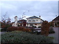
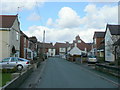
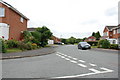
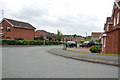
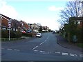
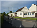
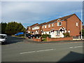
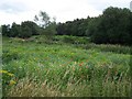
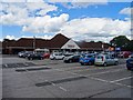
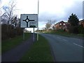
10 photos from this area
Area Information
Key information about the WS12 3TG including its size, population, and administrative classification.
- Area Type
- Postcode
- Area Size
- 1.8 hectares
- Population
- 1666
- Population Density
- 1653 people/km²
House Prices in WS12 3TG
24
Properties
£167,344
Average Sold Price
£54,500
Lowest Price
£370,000
Highest Price
Showing 24 properties
| Address | Type | Beds | Baths | Last Sale Price | Last Sale Date | |
|---|---|---|---|---|---|---|
| 20 Gorsemoor Road, Cannock, WS12 3TG | house | 3 | - | £267,000 | May 2025 | |
| 22 Gorsemoor Road, Cannock, WS12 3TG | Semi-detached | 3 | 1 | £267,500 | Aug 2024 | |
| 60 Gorsemoor Road, Cannock, WS12 3TG | Detached | 3 | 1 | £296,500 | Mar 2023 | |
| 14 Gorsemoor Road, Cannock, WS12 3TG | Detached | 3 | 1 | £370,000 | Jan 2020 | |
| 34 Gorsemoor Road, Cannock, WS12 3TG | house | - | - | £200,000 | Jan 2019 | |
| 30 Gorsemoor Road, Cannock, WS12 3TG | Semi-detached | 3 | 1 | £181,000 | Dec 2018 | |
| 46 Gorsemoor Road, Cannock, WS12 3TG | Detached | 4 | 2 | £252,000 | Jun 2018 | |
| 28 Gorsemoor Road, Cannock, WS12 3TG | Detached | 4 | 2 | £178,000 | Sep 2017 | |
| 18 Gorsemoor Road, Cannock, WS12 3TG | Terraced | - | - | £144,000 | Sep 2004 | |
| 50 Gorsemoor Road, Cannock, WS12 3TG | Detached | - | - | £108,000 | Dec 2002 |
Page 1 of 3
Energy Efficiency in WS12 3TG
Amenities
Schools
| Rank | School | Type | Entry gender | Ages |
|---|
Explore more schools in this area
Go to Schools tabDemographics
Household Size
One person
most common
Accommodation Type
Houses
most common
Tenure
65
majority
Ethnic Group
White
most common
Religion
N/A
most common
Household Composition
N/A
most common
Age
47
median
Adults (30-64 years)
most common
Household Deprivation
N/A
with no deprivation
NS-SEC
26
in Lower managerial occupations
Explore more demographic insights in this area
Go to Demographics tabPlanning
Planning Constraints
- Flood RiskPremium
- Ramsar Wetland SitesPremium
- Area of Outstanding Natural BeautyPremium
- Protected Nature ReservePremium
- Protected WoodlandPremium