Area Overview for WS12 1UG
Photos of WS12 1UG
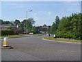
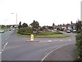
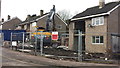
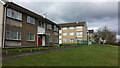
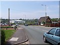
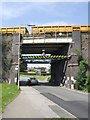
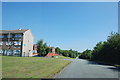
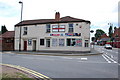
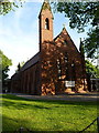
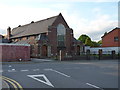
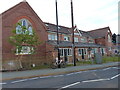
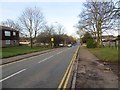
18 photos from this area
Area Information
Key information about the WS12 1UG including its size, population, and administrative classification.
- Area Type
- Postcode
- Area Size
- 2.3 hectares
- Population
- 1571
- Population Density
- 2821 people/km²
House Prices in WS12 1UG
39
Properties
£130,174
Average Sold Price
£40,000
Lowest Price
£259,995
Highest Price
Showing 39 properties
| Address | Type | Beds | Baths | Last Sale Price | Last Sale Date | |
|---|---|---|---|---|---|---|
| 45 Swallowfields Drive, Hednesford, Cannock, WS12 1UG | Semi-detached | 3 | 1 | £259,995 | Feb 2025 | |
| 65 Swallowfields Drive, Hednesford, Cannock, WS12 1UG | Semi-detached | 3 | 1 | £220,000 | Oct 2022 | |
| 57 Swallowfields Drive, Hednesford, Cannock, WS12 1UG | house | - | - | £180,000 | Mar 2021 | |
| 41 Swallowfields Drive, Hednesford, Cannock, WS12 1UG | house | - | - | £200,000 | Feb 2021 | |
| 9 Swallowfields Drive, Hednesford, Cannock, WS12 1UG | Semi-detached | 3 | 1 | £165,000 | Oct 2018 | |
| 77 Swallowfields Drive, Hednesford, Cannock, WS12 1UG | Detached | 4 | 1 | £253,000 | Nov 2017 | |
| 11 Swallowfields Drive, Hednesford, Cannock, WS12 1UG | house | - | - | £143,000 | Sep 2016 | |
| 21 Swallowfields Drive, Hednesford, Cannock, WS12 1UG | house | - | - | £166,000 | Nov 2015 | |
| 33 Swallowfields Drive, Hednesford, Cannock, WS12 1UG | house | 2 | - | £124,950 | Jul 2010 | |
| 7 Swallowfields Drive, Hednesford, Cannock, WS12 1UG | Semi-detached | - | - | £40,000 | Oct 2007 |
Page 1 of 4
Energy Efficiency in WS12 1UG
Amenities
Schools
| Rank | School | Type | Entry gender | Ages |
|---|
Explore more schools in this area
Go to Schools tabDemographics
Household Size
Two person
most common
Accommodation Type
Houses
most common
Tenure
80
majority
Ethnic Group
White
most common
Religion
N/A
most common
Household Composition
N/A
most common
Age
47
median
Adults (30-64 years)
most common
Household Deprivation
N/A
with no deprivation
NS-SEC
28
in Lower managerial occupations
Explore more demographic insights in this area
Go to Demographics tabPlanning
Planning Constraints
- Flood RiskPremium
- Ramsar Wetland SitesPremium
- Area of Outstanding Natural BeautyPremium
- Protected Nature ReservePremium
- Protected WoodlandPremium