Area Overview for WS12 1JA
Photos of WS12 1JA
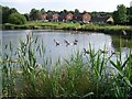


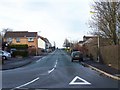

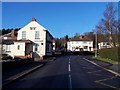
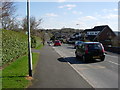
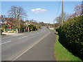
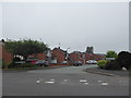
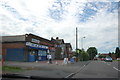
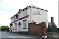
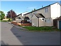
26 photos from this area
Area Information
Key information about the WS12 1JA including its size, population, and administrative classification.
- Area Type
- Postcode
- Area Size
- 9848 m²
- Population
- 1430
- Population Density
- 3509 people/km²
House Prices in WS12 1JA
36
Properties
£121,900
Average Sold Price
£69,000
Lowest Price
£180,000
Highest Price
Showing 36 properties
| Address | Type | Beds | Baths | Last Sale Price | Last Sale Date | |
|---|---|---|---|---|---|---|
| 499 Littleworth Road, Cannock, WS12 1JA | Terraced | 3 | 1 | £180,000 | Jul 2024 | |
| 481 Littleworth Road, Cannock, WS12 1JA | Terraced | 2 | 1 | £170,000 | Apr 2024 | |
| 487 Littleworth Road, Cannock, WS12 1JA | Terraced | 2 | 1 | £145,000 | Jan 2019 | |
| 495 Littleworth Road, Cannock, WS12 1JA | Terraced | 2 | 1 | £124,000 | Oct 2018 | |
| 483 Littleworth Road, Cannock, WS12 1JA | Terraced | 3 | 2 | £127,500 | Jul 2018 | |
| 509 Littleworth Road, Cannock, WS12 1JA | Semi-detached | 2 | 1 | £125,000 | Sep 2016 | |
| 491 Littleworth Road, Cannock, WS12 1JA | house | - | - | £91,000 | Oct 2010 | |
| 485 Littleworth Road, Cannock, WS12 1JA | house | - | - | £95,500 | Jul 2007 | |
| 493 Littleworth Road, Cannock, WS12 1JA | house | - | - | £92,000 | Jan 2006 | |
| 523 Littleworth Road, Cannock, WS12 1JA | Detached | - | - | £69,000 | Nov 2000 |
Page 1 of 4
Energy Efficiency in WS12 1JA
Amenities
Schools
| Rank | School | Type | Entry gender | Ages |
|---|
Explore more schools in this area
Go to Schools tabDemographics
Household Size
Two person
most common
Accommodation Type
Houses
most common
Tenure
69
majority
Ethnic Group
White
most common
Religion
N/A
most common
Household Composition
N/A
most common
Age
47
median
Adults (30-64 years)
most common
Household Deprivation
N/A
with no deprivation
NS-SEC
30
in Lower managerial occupations
Explore more demographic insights in this area
Go to Demographics tabPlanning
Planning Constraints
- Flood RiskPremium
- Ramsar Wetland SitesPremium
- Area of Outstanding Natural BeautyPremium
- Protected Nature ReservePremium
- Protected WoodlandPremium