Area Overview for WS12 0FG
Photos of WS12 0FG
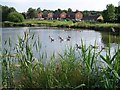
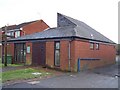
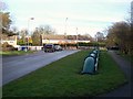
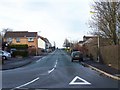
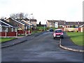
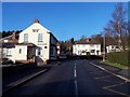
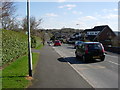
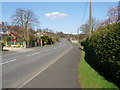
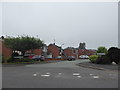
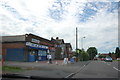
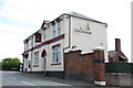
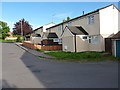
26 photos from this area
Area Information
Key information about the WS12 0FG including its size, population, and administrative classification.
- Area Type
- Postcode
- Area Size
- 1.9 hectares
- Population
- 1651
- Population Density
- 2002 people/km²
House Prices in WS12 0FG
36
Properties
£178,577
Average Sold Price
£69,000
Lowest Price
£377,000
Highest Price
Showing 36 properties
| Address | Type | Beds | Baths | Last Sale Price | Last Sale Date | |
|---|---|---|---|---|---|---|
| 4 St Thomas Drive, Rawnsley, Cannock, WS12 0FG | Detached | 6 | 3 | £377,000 | Jan 2024 | |
| 9 St Thomas Drive, Rawnsley, Cannock, WS12 0FG | Detached | 3 | 2 | £275,000 | May 2022 | |
| 24 St Thomas Drive, Rawnsley, Cannock, WS12 0FG | Detached | 4 | - | £275,000 | May 2019 | |
| 37 St Thomas Drive, Rawnsley, Cannock, WS12 0FG | Detached | 4 | 3 | £245,000 | Jul 2018 | |
| 10 St Thomas Drive, Rawnsley, Cannock, WS12 0FG | Detached | 4 | 2 | £200,000 | Mar 2016 | |
| 7 St Thomas Drive, Rawnsley, Cannock, WS12 0FG | Detached | 4 | 3 | £210,000 | Oct 2015 | |
| 22 St Thomas Drive, Rawnsley, Cannock, WS12 0FG | Detached | 4 | 2 | £191,000 | Oct 2014 | |
| 26 St Thomas Drive, Rawnsley, Cannock, WS12 0FG | house | - | - | £183,000 | Aug 2012 | |
| 2 St Thomas Drive, Rawnsley, Cannock, WS12 0FG | Detached | - | - | £200,000 | Jun 2012 | |
| 13 St Thomas Drive, Rawnsley, Cannock, WS12 0FG | Detached | 4 | 2 | £177,500 | Jan 2012 |
Page 1 of 4
Energy Efficiency in WS12 0FG
Amenities
Schools
| Rank | School | Type | Entry gender | Ages |
|---|
Explore more schools in this area
Go to Schools tabDemographics
Household Size
Family (3-5 people)
most common
Accommodation Type
Houses
most common
Tenure
69
majority
Ethnic Group
White
most common
Religion
N/A
most common
Household Composition
N/A
most common
Age
47
median
Adults (30-64 years)
most common
Household Deprivation
N/A
with no deprivation
NS-SEC
30
in Lower managerial occupations
Explore more demographic insights in this area
Go to Demographics tabPlanning
Planning Constraints
- Flood RiskPremium
- Ramsar Wetland SitesPremium
- Area of Outstanding Natural BeautyPremium
- Protected Nature ReservePremium
- Protected WoodlandPremium