Area Overview for WS11 1SX
Photos of WS11 1SX
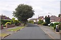
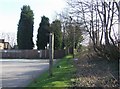
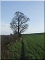
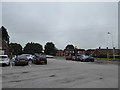

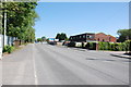
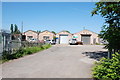
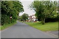
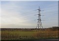
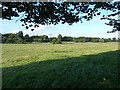
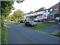
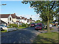
17 photos from this area
Area Information
Key information about the WS11 1SX including its size, population, and administrative classification.
- Area Type
- Postcode
- Area Size
- 7.4 hectares
- Population
- 1484
- Population Density
- 145 people/km²
House Prices in WS11 1SX
38
Properties
£134,131
Average Sold Price
£38,500
Lowest Price
£215,000
Highest Price
Showing 38 properties
| Address | Type | Beds | Baths | Last Sale Price | Last Sale Date | |
|---|---|---|---|---|---|---|
| 84 Wolverhampton Road, Wedges Mills, WS11 1SX | Semi-detached | 2 | 1 | £175,600 | Jul 2022 | |
| 114 Wolverhampton Road, Wedges Mills, WS11 1SX | Semi-detached | 3 | - | £215,000 | Aug 2019 | |
| 66 Wolverhampton Road, Wedges Mills, WS11 1SX | house | - | - | £190,000 | Nov 2018 | |
| 82 Wolverhampton Road, Wedges Mills, WS11 1SX | Semi-detached | 2 | - | £127,000 | Feb 2017 | |
| 48 Wolverhampton Road, Wedges Mills, WS11 1SX | house | - | - | £100,000 | Mar 2015 | |
| 90 Wolverhampton Road, Wedges Mills, WS11 1SX | Detached | 3 | - | £192,500 | Dec 2013 | |
| 70 Wolverhampton Road, Wedges Mills, WS11 1SX | house | - | - | £205,000 | Nov 2013 | |
| 108 Wolverhampton Road, Wedges Mills, WS11 1SX | house | - | - | £153,000 | Apr 2009 | |
| 62 Wolverhampton Road, Wedges Mills, WS11 1SX | Bungalow | 2 | 1 | £142,500 | Jan 2006 | |
| 50 Wolverhampton Road, Wedges Mills, WS11 1SX | Semi-detached | 2 | 1 | £109,500 | Jun 2005 |
Page 1 of 4
Energy Efficiency in WS11 1SX
Amenities
Schools
| Rank | School | Type | Entry gender | Ages |
|---|
Explore more schools in this area
Go to Schools tabDemographics
Household Size
Two person
most common
Accommodation Type
Houses
most common
Tenure
84
majority
Ethnic Group
White
most common
Religion
N/A
most common
Household Composition
N/A
most common
Age
47
median
Adults (30-64 years)
most common
Household Deprivation
N/A
with no deprivation
NS-SEC
34
in Lower managerial occupations
Explore more demographic insights in this area
Go to Demographics tabPlanning
Planning Constraints
- Flood RiskPremium
- Ramsar Wetland SitesPremium
- Area of Outstanding Natural BeautyPremium
- Protected Nature ReservePremium
- Protected WoodlandPremium