Area Overview for WS10 8RT
Photos of WS10 8RT
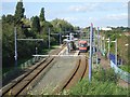
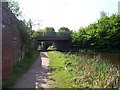
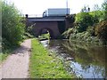
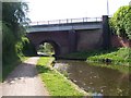
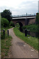
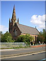
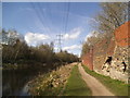
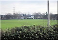
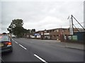
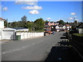
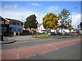
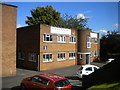
84 photos from this area
Area Information
Key information about the WS10 8RT including its size, population, and administrative classification.
- Area Type
- Postcode
- Area Size
- 1.0 hectares
- Population
- 1668
- Population Density
- 4697 people/km²
House Prices in WS10 8RT
29
Properties
£88,256
Average Sold Price
£35,995
Lowest Price
£165,300
Highest Price
Showing 29 properties
| Address | Type | Beds | Baths | Last Sale Price | Last Sale Date | |
|---|---|---|---|---|---|---|
| 59 High Street, Moxley, WS10 8RT | house | - | - | £165,300 | Sep 2021 | |
| 71 High Street, Moxley, WS10 8RT | Terraced | 3 | - | £98,500 | May 2017 | |
| 73 High Street, Moxley, WS10 8RT | Terraced | 3 | - | £85,000 | Apr 2017 | |
| 85 High Street, Moxley, WS10 8RT | house | 3 | - | £79,000 | Oct 2012 | |
| 65 High Street, Moxley, WS10 8RT | house | - | - | £76,000 | Apr 2006 | |
| 79 High Street, Moxley, WS10 8RT | house | - | - | £78,000 | Nov 2003 | |
| 55 High Street, Moxley, WS10 8RT | Land | 3 | - | £35,995 | Sep 1995 | |
| 53 High Street, Moxley, WS10 8RT | Semi-detached | 3 | 1 | - | - | |
| Living Area, The Moxley Arms, High Street, Moxley, WS10 8RT | Flat | - | - | - | - | |
| 2, Cinnamon Court, High Street, Moxley, WS10 8RT | Semi-detached | 1 | 2 | - | - |
Page 1 of 3
Energy Efficiency in WS10 8RT
Amenities
Schools
| Rank | School | Type | Entry gender | Ages |
|---|
Explore more schools in this area
Go to Schools tabDemographics
Household Size
One person
most common
Accommodation Type
Houses
most common
Tenure
40
majority
Ethnic Group
White
most common
Religion
N/A
most common
Household Composition
N/A
most common
Age
47
median
Adults (30-64 years)
most common
Household Deprivation
N/A
with no deprivation
NS-SEC
14
in Lower managerial occupations
Explore more demographic insights in this area
Go to Demographics tabPlanning
Planning Constraints
- Flood RiskPremium
- Ramsar Wetland SitesPremium
- Area of Outstanding Natural BeautyPremium
- Protected Nature ReservePremium
- Protected WoodlandPremium