Area Overview for WS10 0BE
Photos of WS10 0BE

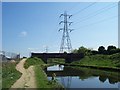
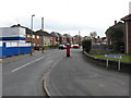
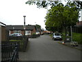
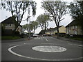
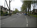
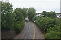
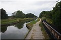
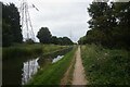
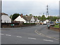
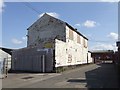
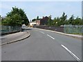
23 photos from this area
Area Information
Key information about the WS10 0BE including its size, population, and administrative classification.
- Area Type
- Postcode
- Area Size
- 8984 m²
- Population
- 1820
- Population Density
- 3301 people/km²
House Prices in WS10 0BE
26
Properties
£83,857
Average Sold Price
£42,500
Lowest Price
£144,000
Highest Price
Showing 26 properties
| Address | Type | Beds | Baths | Last Sale Price | Last Sale Date | |
|---|---|---|---|---|---|---|
| 5 Sycamore Road, Wednesbury, WS10 0BE | house | - | - | £105,000 | Nov 2020 | |
| 29 Sycamore Road, Wednesbury, WS10 0BE | house | - | - | £144,000 | Oct 2017 | |
| 45 Sycamore Road, Wednesbury, WS10 0BE | house | - | - | £127,500 | Sep 2015 | |
| 13 Sycamore Road, Wednesbury, WS10 0BE | house | - | - | £73,500 | Aug 2002 | |
| 33 Sycamore Road, Wednesbury, WS10 0BE | Semi-detached | - | - | £48,500 | Oct 2001 | |
| 17 Sycamore Road, Wednesbury, WS10 0BE | Semi-detached | - | - | £46,000 | Nov 1998 | |
| 11 Sycamore Road, Wednesbury, WS10 0BE | Semi-detached | - | - | £42,500 | Jan 1996 | |
| 15 Sycamore Road, Wednesbury, WS10 0BE | house | - | - | - | - | |
| 35 Sycamore Road, Wednesbury, WS10 0BE | house | - | - | - | - | |
| 37 Sycamore Road, Wednesbury, WS10 0BE | house | - | - | - | - |
Page 1 of 3
Energy Efficiency in WS10 0BE
Amenities
Schools
| Rank | School | Type | Entry gender | Ages |
|---|
Explore more schools in this area
Go to Schools tabDemographics
Household Size
One person
most common
Accommodation Type
Houses
most common
Tenure
46
majority
Ethnic Group
White
most common
Religion
N/A
most common
Household Composition
N/A
most common
Age
47
median
Adults (30-64 years)
most common
Household Deprivation
N/A
with no deprivation
NS-SEC
18
in Lower managerial occupations
Explore more demographic insights in this area
Go to Demographics tabPlanning
Planning Constraints
- Flood RiskPremium
- Ramsar Wetland SitesPremium
- Area of Outstanding Natural BeautyPremium
- Protected Nature ReservePremium
- Protected WoodlandPremium