Area Overview for WS1 3PE
Photos of WS1 3PE
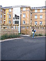
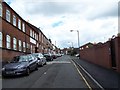
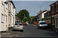

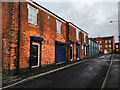
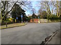
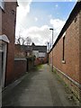
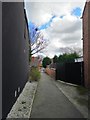

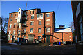

36 photos from this area
Area Information
Key information about the WS1 3PE including its size, population, and administrative classification.
- Area Type
- Postcode
- Area Size
- 7893 m²
- Population
- 1618
- Population Density
- 4879 people/km²
House Prices in WS1 3PE
32
Properties
£93,963
Average Sold Price
£25,500
Lowest Price
£185,000
Highest Price
Showing 32 properties
| Address | Type | Beds | Baths | Last Sale Price | Last Sale Date | |
|---|---|---|---|---|---|---|
| 2B Hart Street, Walsall, WS1 3PE | house | - | - | £185,000 | Oct 2021 | |
| 30 Hart Street, Walsall, WS1 3PE | Terraced | 3 | 1 | £120,000 | Sep 2021 | |
| 8 Hart Street, Walsall, WS1 3PE | house | - | - | £100,000 | Oct 2019 | |
| 4 Hart Street, Walsall, WS1 3PE | Terraced | 3 | 1 | £100,000 | Nov 2018 | |
| 10 Hart Street, Walsall, WS1 3PE | house | - | - | £77,000 | Dec 2015 | |
| 32 Hart Street, Walsall, WS1 3PE | house | - | - | £105,000 | Dec 2015 | |
| 18 Hart Street, Walsall, WS1 3PE | house | - | - | £90,000 | Jul 2015 | |
| 7 Hart Street, Walsall, WS1 3PE | house | - | - | £85,000 | Nov 2011 | |
| 2C Hart Street, Walsall, WS1 3PE | house | - | - | £160,000 | Sep 2010 | |
| 20 Hart Street, Walsall, WS1 3PE | house | - | - | £105,000 | Sep 2010 |
Page 1 of 4
Energy Efficiency in WS1 3PE
Amenities
Schools
| Rank | School | Type | Entry gender | Ages |
|---|
Explore more schools in this area
Go to Schools tabDemographics
Household Size
One person
most common
Accommodation Type
Flats
most common
Tenure
15
majority
Ethnic Group
asian_total
most common
Religion
N/A
most common
Household Composition
N/A
most common
Age
22
median
Adults (30-64 years)
most common
Household Deprivation
N/A
with no deprivation
NS-SEC
12
in Lower managerial occupations
Explore more demographic insights in this area
Go to Demographics tabPlanning
Planning Constraints
- Flood RiskPremium
- Ramsar Wetland SitesPremium
- Area of Outstanding Natural BeautyPremium
- Protected Nature ReservePremium
- Protected WoodlandPremium