Area Overview for WS1 2JA
Photos of WS1 2JA
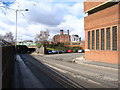
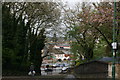
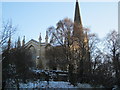

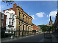
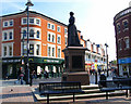
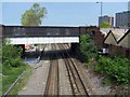
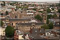
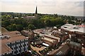
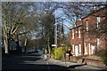
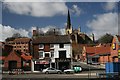
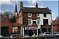
100 photos from this area
Area Information
Key information about the WS1 2JA including its size, population, and administrative classification.
- Area Type
- Postcode
- Area Size
- 1.6 hectares
- Population
- 1744
- Population Density
- 5800 people/km²
House Prices in WS1 2JA
36
Properties
£106,086
Average Sold Price
£40,000
Lowest Price
£192,000
Highest Price
Showing 36 properties
| Address | Type | Beds | Baths | Last Sale Price | Last Sale Date | |
|---|---|---|---|---|---|---|
| 50 Holtshill Lane, Walsall, WS1 2JA | house | - | - | £192,000 | Apr 2023 | |
| 56 Holtshill Lane, Walsall, WS1 2JA | house | - | - | £127,500 | May 2022 | |
| 52 Holtshill Lane, Walsall, WS1 2JA | house | - | - | £130,000 | Mar 2019 | |
| 16 Holtshill Lane, Walsall, WS1 2JA | Terraced | 2 | - | £82,500 | Jul 2016 | |
| 13 Holtshill Lane, Walsall, WS1 2JA | Terraced | 3 | 1 | £110,000 | Aug 2015 | |
| 67 Holtshill Lane, Walsall, WS1 2JA | Terraced | - | - | £85,000 | Jun 2011 | |
| 70 Holtshill Lane, Walsall, WS1 2JA | house | 2 | - | £71,500 | Aug 2010 | |
| 21 Holtshill Lane, Walsall, WS1 2JA | Terraced | - | - | £149,950 | Oct 2006 | |
| 69 Holtshill Lane, Walsall, WS1 2JA | Terraced | 2 | 1 | £106,000 | Apr 2005 | |
| 23 Holtshill Lane, Walsall, WS1 2JA | Terraced | - | - | £72,500 | Dec 2001 |
Page 1 of 4
Energy Efficiency in WS1 2JA
Amenities
Schools
| Rank | School | Type | Entry gender | Ages |
|---|
Explore more schools in this area
Go to Schools tabDemographics
Household Size
One person
most common
Accommodation Type
Flats
most common
Tenure
29
majority
Ethnic Group
White
most common
Religion
N/A
most common
Household Composition
N/A
most common
Age
47
median
Adults (30-64 years)
most common
Household Deprivation
N/A
with no deprivation
NS-SEC
22
in Lower managerial occupations
Explore more demographic insights in this area
Go to Demographics tabPlanning
Planning Constraints
- Flood RiskPremium
- Ramsar Wetland SitesPremium
- Area of Outstanding Natural BeautyPremium
- Protected Nature ReservePremium
- Protected WoodlandPremium