Area Overview for WR9 8JQ
Photos of WR9 8JQ
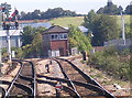
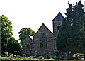
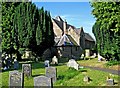
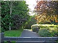
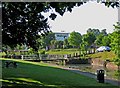
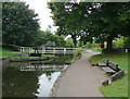
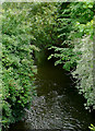
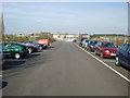
100 photos from this area
Area Information
Key information about the WR9 8JQ including its size, population, and administrative classification.
- Area Type
- Postcode
- Area Size
- 1.3 hectares
- Population
- 1110
- Population Density
- 3031 people/km²
House Prices in WR9 8JQ
28
Properties
£144,178
Average Sold Price
£26,015
Lowest Price
£240,000
Highest Price
Showing 28 properties
| Address | Type | Beds | Baths | Last Sale Price | Last Sale Date | |
|---|---|---|---|---|---|---|
| 18 Stalls Farm Road, Droitwich Spa, WR9 8JQ | house | - | - | £240,000 | Jul 2022 | |
| 19 Stalls Farm Road, Droitwich Spa, WR9 8JQ | Semi-detached | 3 | 1 | £160,000 | Jun 2021 | |
| 22 Stalls Farm Road, Droitwich Spa, WR9 8JQ | house | - | - | £192,500 | Jan 2021 | |
| 5 Stalls Farm Road, Droitwich Spa, WR9 8JQ | Detached | 3 | 1 | £186,000 | Dec 2020 | |
| 17 Stalls Farm Road, Droitwich Spa, WR9 8JQ | Semi-detached | 3 | 1 | £190,000 | Aug 2017 | |
| 21 Stalls Farm Road, Droitwich Spa, WR9 8JQ | Semi-detached | 3 | 1 | £172,250 | Jul 2016 | |
| 7 Stalls Farm Road, Droitwich Spa, WR9 8JQ | house | - | - | £135,000 | Oct 2012 | |
| 24 Stalls Farm Road, Droitwich Spa, WR9 8JQ | Semi-detached | - | - | £142,500 | Jan 2009 | |
| 6 Stalls Farm Road, Droitwich Spa, WR9 8JQ | Semi-detached | 3 | - | £150,000 | Sep 2006 | |
| 25 Stalls Farm Road, Droitwich Spa, WR9 8JQ | Semi-detached | - | - | £155,000 | Aug 2006 |
Page 1 of 3
Energy Efficiency in WR9 8JQ
Amenities
Schools
| Rank | School | Type | Entry gender | Ages |
|---|
Explore more schools in this area
Go to Schools tabDemographics
Household Size
Two person
most common
Accommodation Type
Houses
most common
Tenure
66
majority
Ethnic Group
White
most common
Religion
N/A
most common
Household Composition
N/A
most common
Age
47
median
Adults (30-64 years)
most common
Household Deprivation
N/A
with no deprivation
NS-SEC
30
in Lower managerial occupations
Explore more demographic insights in this area
Go to Demographics tabPlanning
Planning Constraints
- Flood RiskPremium
- Ramsar Wetland SitesPremium
- Area of Outstanding Natural BeautyPremium
- Protected Nature ReservePremium
- Protected WoodlandPremium