Area Overview for WR9 7PE
Photos of WR9 7PE
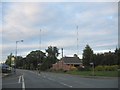


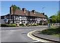
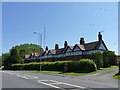
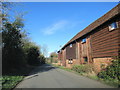
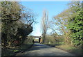


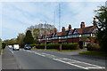
47 photos from this area
Area Information
Key information about the WR9 7PE including its size, population, and administrative classification.
- Area Type
- Postcode
- Area Size
- 3.8 hectares
- Population
- 1606
- Population Density
- 77 people/km²
House Prices in WR9 7PE
76
Properties
£254,621
Average Sold Price
£64,000
Lowest Price
£574,441
Highest Price
Showing 76 properties
| Address | Type | Beds | Baths | Last Sale Price | Last Sale Date | |
|---|---|---|---|---|---|---|
| Prestwood, Worcester Road, Wychbold, WR9 7PE | house | 2 | - | £145,000 | Jul 2025 | |
| 5, Prospect Villas, Worcester Road, Wychbold, WR9 7PE | Terraced | 2 | 1 | £250,000 | Nov 2024 | |
| 6, Prospect Villas, Worcester Road, Wychbold, WR9 7PE | Terraced | 2 | 1 | £235,000 | May 2024 | |
| Walsh House, Worcester Road, Wychbold, WR9 7PE | house | - | - | £390,000 | Nov 2023 | |
| Glenark, Worcester Road, Wychbold, WR9 7PE | Detached | 3 | 1 | £370,000 | Aug 2023 | |
| Elm Cottage, Worcester Road, Wychbold, WR9 7PE | Detached | 4 | 2 | £385,000 | May 2023 | |
| Watwood House, Worcester Road, Wychbold, WR9 7PE | house | - | - | £395,000 | Feb 2023 | |
| The Mill House, Worcester Road, Wychbold, WR9 7PE | house | - | - | £400,000 | Jan 2023 | |
| Site Of Former The Mews House, Chapel Mews, Wychbold, WR9 7PE | Detached | 2 | 1 | £574,441 | Aug 2021 | |
| Laburnum Cottage, Worcester Road, Wychbold, WR9 7PE | Cottage | 3 | 2 | £250,000 | Sep 2020 |
Page 1 of 8
Energy Efficiency in WR9 7PE
Amenities
Schools
| Rank | School | Type | Entry gender | Ages |
|---|
Explore more schools in this area
Go to Schools tabDemographics
Household Size
Family (3-5 people)
most common
Accommodation Type
Houses
most common
Tenure
76
majority
Ethnic Group
White
most common
Religion
N/A
most common
Household Composition
N/A
most common
Age
47
median
Adults (30-64 years)
most common
Household Deprivation
N/A
with no deprivation
NS-SEC
42
in Lower managerial occupations
Explore more demographic insights in this area
Go to Demographics tabPlanning
Planning Constraints
- Flood RiskPremium
- Ramsar Wetland SitesPremium
- Area of Outstanding Natural BeautyPremium
- Protected Nature ReservePremium
- Protected WoodlandPremium