Area Overview for WR8 0NQ
Photos of WR8 0NQ
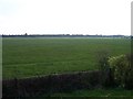
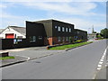
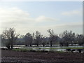
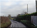
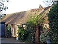
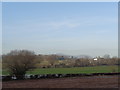
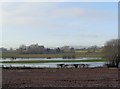
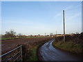
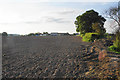
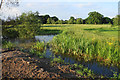
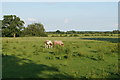
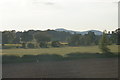
39 photos from this area
Area Information
Key information about the WR8 0NQ including its size, population, and administrative classification.
- Area Type
- Postcode
- Area Size
- 1.0 hectares
- Population
- 1064
- Population Density
- 1161 people/km²
House Prices in WR8 0NQ
24
Properties
£193,000
Average Sold Price
£48,000
Lowest Price
£320,000
Highest Price
Showing 24 properties
| Address | Type | Beds | Baths | Last Sale Price | Last Sale Date | |
|---|---|---|---|---|---|---|
| 2 Hall Green, Upton Upon Severn, WR8 0NQ | Terraced | 3 | 1 | £260,000 | Aug 2025 | |
| 11 Hall Green, Upton Upon Severn, WR8 0NQ | Terraced | 3 | 1 | £260,000 | Jul 2025 | |
| 12 Hall Green, Upton Upon Severn, WR8 0NQ | Semi-detached | 3 | 1 | £217,500 | Mar 2025 | |
| 9 Hall Green, Upton Upon Severn, WR8 0NQ | Terraced | 3 | - | £205,000 | Dec 2023 | |
| 14 Hall Green, Upton Upon Severn, WR8 0NQ | Terraced | 3 | - | £320,000 | Oct 2023 | |
| Little Oak, 15 Hall Green, Upton Upon Severn, WR8 0NQ | Retail | 3 | 1 | £207,500 | Jan 2023 | |
| 6 Hall Green, Upton Upon Severn, WR8 0NQ | house | - | - | £230,000 | Apr 2021 | |
| 22 Hall Green, Upton Upon Severn, WR8 0NQ | Bungalow | 1 | - | £132,000 | Jan 2018 | |
| 16 Hall Green, Upton Upon Severn, WR8 0NQ | house | - | - | £48,000 | Mar 1996 | |
| 3 Hall Green, Upton Upon Severn, WR8 0NQ | house | - | - | £50,000 | Nov 1995 |
Page 1 of 3
Energy Efficiency in WR8 0NQ
Amenities
Schools
| Rank | School | Type | Entry gender | Ages |
|---|
Explore more schools in this area
Go to Schools tabDemographics
Household Size
Two person
most common
Accommodation Type
Houses
most common
Tenure
57
majority
Ethnic Group
White
most common
Religion
N/A
most common
Household Composition
N/A
most common
Age
47
median
Adults (30-64 years)
most common
Household Deprivation
N/A
with no deprivation
NS-SEC
30
in Lower managerial occupations
Explore more demographic insights in this area
Go to Demographics tabPlanning
Planning Constraints
- Flood RiskPremium
- Ramsar Wetland SitesPremium
- Area of Outstanding Natural BeautyPremium
- Protected Nature ReservePremium
- Protected WoodlandPremium