Area Overview for WR7 4EP
Photos of WR7 4EP
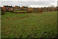
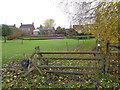
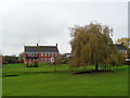
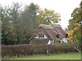
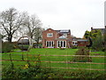
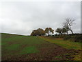
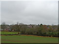
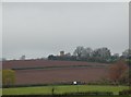
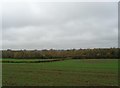
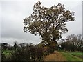
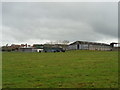
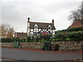
25 photos from this area
Area Information
Key information about the WR7 4EP including its size, population, and administrative classification.
- Area Type
- Postcode
- Area Size
- 1.0 hectares
- Population
- 1818
- Population Density
- 617 people/km²
House Prices in WR7 4EP
15
Properties
£284,994
Average Sold Price
£95,000
Lowest Price
£430,000
Highest Price
Showing 15 properties
| Address | Type | Beds | Baths | Last Sale Price | Last Sale Date | |
|---|---|---|---|---|---|---|
| 1A Brecon Close, Inkberrow, WR7 4EP | Bungalow | 3 | 1 | £400,000 | Jan 2024 | |
| 9 Brecon Close, Inkberrow, WR7 4EP | Retail | 3 | 2 | £430,000 | Jun 2022 | |
| 2 Brecon Close, Inkberrow, WR7 4EP | house | 4 | - | £335,000 | Aug 2018 | |
| 4 Brecon Close, Inkberrow, WR7 4EP | Detached | 4 | 1 | £180,000 | Dec 2017 | |
| 11 Brecon Close, Inkberrow, WR7 4EP | Bungalow | 3 | - | £325,000 | Dec 2016 | |
| 3 Brecon Close, Inkberrow, WR7 4EP | Detached | - | - | £270,000 | Jul 2007 | |
| 13 Brecon Close, Inkberrow, WR7 4EP | Detached | - | - | £240,000 | Sep 2006 | |
| 5 Brecon Close, Inkberrow, WR7 4EP | Detached | - | - | £289,950 | Oct 2004 | |
| 7 Brecon Close, Inkberrow, WR7 4EP | Detached | - | - | £95,000 | Apr 1997 | |
| 14 Brecon Close, Inkberrow, WR7 4EP | Detached | - | - | - | - |
Page 1 of 2
Energy Efficiency in WR7 4EP
Amenities
Schools
| Rank | School | Type | Entry gender | Ages |
|---|
Explore more schools in this area
Go to Schools tabDemographics
Household Size
Two person
most common
Accommodation Type
Houses
most common
Tenure
82
majority
Ethnic Group
White
most common
Religion
N/A
most common
Household Composition
N/A
most common
Age
47
median
Adults (30-64 years)
most common
Household Deprivation
N/A
with no deprivation
NS-SEC
48
in Lower managerial occupations
Explore more demographic insights in this area
Go to Demographics tabPlanning
Planning Constraints
- Flood RiskPremium
- Ramsar Wetland SitesPremium
- Area of Outstanding Natural BeautyPremium
- Protected Nature ReservePremium
- Protected WoodlandPremium