Area Overview for WR6 6UX
Photos of WR6 6UX
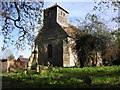
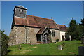
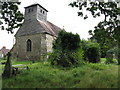
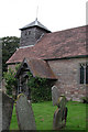
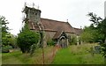
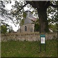
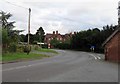
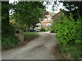
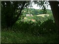
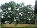
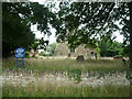
43 photos from this area
Area Information
Key information about the WR6 6UX including its size, population, and administrative classification.
- Area Type
- Postcode
- Area Size
- 16.7 hectares
- Population
- 2294
- Population Density
- 54 people/km²
House Prices in WR6 6UX
7
Properties
£313,333
Average Sold Price
£180,000
Lowest Price
£415,000
Highest Price
Showing 7 properties
| Address | Type | Beds | Baths | Last Sale Price | Last Sale Date | |
|---|---|---|---|---|---|---|
| Old School House, C 2024 Stockton, Stockton, WR6 6UX | Retail | 3 | 1 | £415,000 | May 2022 | |
| The Old Post Box, A 443 Stockton, Stockton, WR6 6UX | Detached | 4 | 2 | £345,000 | Sep 2016 | |
| Glebe Cottage, A 443 Stockton, Stockton, WR6 6UX | Semi-detached | - | - | £180,000 | Dec 2005 | |
| Priest Hill, A 443 Stockton, Stockton, WR6 6UX | house | - | - | - | - | |
| Caravan At, Priest Hill, A 443 Stockton, Stockton, WR6 6UX | Mobile Home | - | - | - | - | |
| Stockton Court Cottage, C 2024 Stockton, Stockton, WR6 6UX | Detached | - | - | - | - | |
| Anniceford House, A 443 Stockton, Stockton, WR6 6UX | Detached | - | - | - | - |
Energy Efficiency in WR6 6UX
Amenities
Schools
| Rank | School | Type | Entry gender | Ages |
|---|
Explore more schools in this area
Go to Schools tabDemographics
Household Size
Two person
most common
Accommodation Type
Houses
most common
Tenure
80
majority
Ethnic Group
White
most common
Religion
N/A
most common
Household Composition
N/A
most common
Age
47
median
Adults (30-64 years)
most common
Household Deprivation
N/A
with no deprivation
NS-SEC
40
in Lower managerial occupations
Explore more demographic insights in this area
Go to Demographics tabPlanning
Planning Constraints
- Flood RiskPremium
- Ramsar Wetland SitesPremium
- Area of Outstanding Natural BeautyPremium
- Protected Nature ReservePremium