Area Overview for WR6 6TS
Photos of WR6 6TS
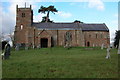
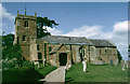
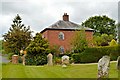
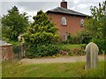
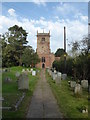
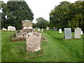
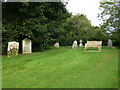
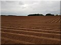
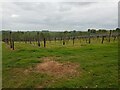
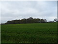
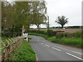
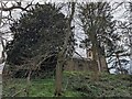
27 photos from this area
Area Information
Key information about the WR6 6TS including its size, population, and administrative classification.
- Area Type
- Postcode
- Area Size
- 1.1 km²
- Population
- 2208
- Population Density
- 70 people/km²
House Prices in WR6 6TS
25
Properties
£566,438
Average Sold Price
£5,000
Lowest Price
£1,550,000
Highest Price
Showing 25 properties
| Address | Type | Beds | Baths | Last Sale Price | Last Sale Date | |
|---|---|---|---|---|---|---|
| Church Cottage, C 2234 Shrawley, Shrawley, WR6 6TS | Detached | - | - | £575,000 | Aug 2022 | |
| Church Farm East Wing, C 2234 Shrawley, Shrawley, WR6 6TS | Detached | - | - | £5,000 | Apr 2022 | |
| Cooks House, C 2234 Sankyns Green, Sankyns Green, Little Witley, WR6 6TS | house | - | - | £1,550,000 | Dec 2021 | |
| Bayliss Cross, B 4196 Shrawley, Shrawley, WR6 6TS | Detached | 4 | 4 | £680,000 | Mar 2021 | |
| Malvern View Barn, U 64207 Shrawley, Shrawley, WR6 6TS | Semi-detached | 3 | 1 | £475,000 | Jul 2020 | |
| The Forge, C 2234 Shrawley, Shrawley, WR6 6TS | house | 3 | - | £376,000 | Jan 2017 | |
| Oakwood Cottage, C 2234 Shrawley, Shrawley, WR6 6TS | Bungalow | - | - | £465,000 | Nov 2016 | |
| Red Acres, C 2234 Shrawley, Shrawley, WR6 6TS | Detached | - | - | £405,500 | Sep 2002 | |
| Nutcross Farm, U 64207 Shrawley, Shrawley, WR6 6TS | farmhouse | 5 | 3 | - | - | |
| Church Farm West Wing, C 2234 Shrawley, Shrawley, WR6 6TS | undefined | - | - | - | - |
Page 1 of 3
Energy Efficiency in WR6 6TS
Amenities
Schools
| Rank | School | Type | Entry gender | Ages |
|---|
Explore more schools in this area
Go to Schools tabDemographics
Household Size
Two person
most common
Accommodation Type
Houses
most common
Tenure
79
majority
Ethnic Group
White
most common
Religion
N/A
most common
Household Composition
N/A
most common
Age
47
median
Adults (30-64 years)
most common
Household Deprivation
N/A
with no deprivation
NS-SEC
41
in Lower managerial occupations
Explore more demographic insights in this area
Go to Demographics tabPlanning
Planning Constraints
- Flood RiskPremium
- Ramsar Wetland SitesPremium
- Area of Outstanding Natural BeautyPremium
- Protected Nature ReservePremium
- Protected WoodlandPremium