Area Overview for WR6 5HF
Photos of WR6 5HF
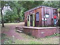
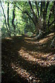
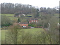
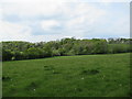
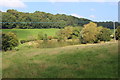
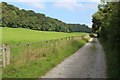
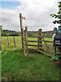
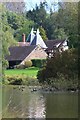
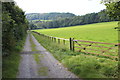
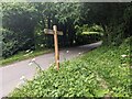
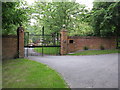
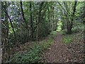
16 photos from this area
Area Information
Key information about the WR6 5HF including its size, population, and administrative classification.
- Area Type
- Postcode
- Area Size
- 1.0 km²
- Population
- 1600
- Population Density
- 57 people/km²
House Prices in WR6 5HF
13
Properties
£859,000
Average Sold Price
£186,000
Lowest Price
£2,205,000
Highest Price
Showing 13 properties
| Address | Type | Beds | Baths | Last Sale Price | Last Sale Date | |
|---|---|---|---|---|---|---|
| The Crest, Crews Hill, Alfrick, WR6 5HF | house | - | - | £680,000 | Jun 2021 | |
| Baston Hall, Crews Hill, Alfrick, WR6 5HF | Detached | 11 | 12 | £2,205,000 | Jul 2017 | |
| Oakwood, Crews Hill, Alfrick, WR6 5HF | Detached | 12 | 11 | £365,000 | Aug 2006 | |
| Woodside Cottage, Crews Hill, Alfrick, WR6 5HF | Detached | - | - | £186,000 | Oct 1998 | |
| GLEN HOUSE, CREWS HILL, Alfrick, WR6 5HF | Detached | - | - | - | - | |
| Crews Hill House, Crews Hill, Alfrick, WR6 5HF | Equestrian | 4 | 3 | - | - | |
| Flat, Baston Hall, Crews Hill, Alfrick, WR6 5HF | Flat | - | - | - | - | |
| Dove Barn, Crews Hill, Alfrick, WR6 5HF | Detached | - | - | - | - | |
| Tennis 45M From Baston Hall, Crews Hill 82M From Unnamed Road, Crews Hill, Alfrick, WR6 5HF | Leisure | - | - | - | - | |
| Office At, Glen House, Crews Hill, Alfrick, WR6 5HF | Office | - | - | - | - |
Page 1 of 2
Energy Efficiency in WR6 5HF
Amenities
Schools
| Rank | School | Type | Entry gender | Ages |
|---|
Explore more schools in this area
Go to Schools tabDemographics
Household Size
Two person
most common
Accommodation Type
Houses
most common
Tenure
78
majority
Ethnic Group
White
most common
Religion
N/A
most common
Household Composition
N/A
most common
Age
47
median
Adults (30-64 years)
most common
Household Deprivation
N/A
with no deprivation
NS-SEC
44
in Lower managerial occupations
Explore more demographic insights in this area
Go to Demographics tabPlanning
Planning Constraints
- Flood RiskPremium
- Ramsar Wetland SitesPremium
- Area of Outstanding Natural BeautyPremium
- Protected Nature ReservePremium
- Protected WoodlandPremium