Area Overview for WR6 5HD
Photos of WR6 5HD
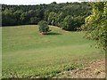
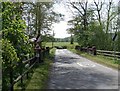
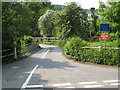
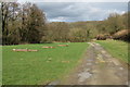
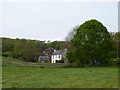
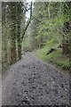
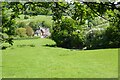
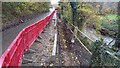
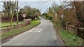
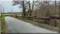
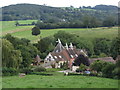
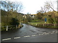
34 photos from this area
Area Information
Key information about the WR6 5HD including its size, population, and administrative classification.
- Area Type
- Postcode
- Area Size
- 74.1 hectares
- Population
- 1600
- Population Density
- 57 people/km²
House Prices in WR6 5HD
20
Properties
£401,917
Average Sold Price
£200,000
Lowest Price
£900,000
Highest Price
Showing 20 properties
| Address | Type | Beds | Baths | Last Sale Price | Last Sale Date | |
|---|---|---|---|---|---|---|
| Meadowside, Stocks Road, Alfrick, WR6 5HD | house | - | - | £900,000 | Sep 2021 | |
| Laburnum Cottage, Stocks Road, Alfrick, WR6 5HD | Cottage | 3 | 2 | £525,000 | Jun 2021 | |
| Lantern Cottage, Stocks Road, Alfrick, WR6 5HD | Semi-detached | 2 | - | £202,000 | Jul 2015 | |
| Monteverde, Stocks Road, Alfrick, WR6 5HD | house | - | - | £200,000 | May 2012 | |
| Hawthorn House, Stocks Road, Alfrick, WR6 5HD | Detached | - | - | £366,500 | Apr 2009 | |
| Mandalay, Stocks Road, Alfrick, WR6 5HD | Detached | - | - | £218,000 | Sep 2003 | |
| Tennis 76M From Brooklands, Stocks Road 77M From Unnamed Road, Stocks Road, Alfrick, WR6 5HD | Leisure | - | - | - | - | |
| Tennis 46M From Bramble Barn, Stocks Road 47M From Unnamed Road, Longley Green To Stocks Lane Alfrick, Suckley, WR6 5HD | Leisure | - | - | - | - | |
| Barley Farm, Stocks Road, Alfrick, WR6 5HD | house | - | - | - | - | |
| Bramble Barn, Stocks Road, Alfrick, WR6 5HD | Detached | - | - | - | - |
Page 1 of 2
Energy Efficiency in WR6 5HD
Amenities
Schools
| Rank | School | Type | Entry gender | Ages |
|---|
Explore more schools in this area
Go to Schools tabDemographics
Household Size
Two person
most common
Accommodation Type
Houses
most common
Tenure
78
majority
Ethnic Group
White
most common
Religion
N/A
most common
Household Composition
N/A
most common
Age
47
median
Adults (30-64 years)
most common
Household Deprivation
N/A
with no deprivation
NS-SEC
44
in Lower managerial occupations
Explore more demographic insights in this area
Go to Demographics tabPlanning
Planning Constraints
- Flood RiskPremium
- Ramsar Wetland SitesPremium
- Area of Outstanding Natural BeautyPremium
- Protected Nature ReservePremium
- Protected WoodlandPremium