Area Overview for WR5 2BP
Photos of WR5 2BP
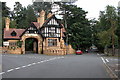

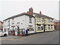
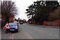
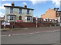
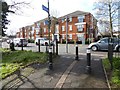
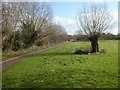
100 photos from this area
Area Information
Key information about the WR5 2BP including its size, population, and administrative classification.
- Area Type
- Postcode
- Area Size
- 4.1 hectares
- Population
- 1984
- Population Density
- 2195 people/km²
House Prices in WR5 2BP
32
Properties
£515,304
Average Sold Price
£194,250
Lowest Price
£975,000
Highest Price
Showing 32 properties
| Address | Type | Beds | Baths | Last Sale Price | Last Sale Date | |
|---|---|---|---|---|---|---|
| 57 Battenhall Road, Worcester, WR5 2BP | house | - | - | £960,000 | Jun 2021 | |
| 62A Battenhall Road, Worcester, WR5 2BP | house | - | - | £695,000 | May 2021 | |
| 53 Battenhall Road, Worcester, WR5 2BP | Semi-detached | 4 | 5 | £585,000 | Apr 2021 | |
| 53A Battenhall Road, Worcester, WR5 2BP | house | 4 | 2 | £578,000 | Oct 2019 | |
| 69 Battenhall Road, Worcester, WR5 2BP | house | - | - | £420,000 | Apr 2019 | |
| 58 Battenhall Road, Worcester, WR5 2BP | house | - | - | £975,000 | Jan 2019 | |
| 68 Battenhall Road, Worcester, WR5 2BP | Bungalow | 4 | 2 | £335,000 | May 2017 | |
| 67 Battenhall Road, Worcester, WR5 2BP | Bungalow | 3 | - | £280,000 | Nov 2016 | |
| 71 Battenhall Road, Worcester, WR5 2BP | Bungalow | 4 | - | £310,000 | May 2016 | |
| Uplands, 51 Battenhall Road, Worcester, WR5 2BP | house | 7 | 2 | £620,000 | Nov 2014 |
Page 1 of 4
Energy Efficiency in WR5 2BP
Amenities
Schools
| Rank | School | Type | Entry gender | Ages |
|---|
Explore more schools in this area
Go to Schools tabDemographics
Household Size
Two person
most common
Accommodation Type
Houses
most common
Tenure
87
majority
Ethnic Group
White
most common
Religion
N/A
most common
Household Composition
N/A
most common
Age
47
median
Adults (30-64 years)
most common
Household Deprivation
N/A
with no deprivation
NS-SEC
47
in Lower managerial occupations
Explore more demographic insights in this area
Go to Demographics tabPlanning
Planning Constraints
- Flood RiskPremium
- Ramsar Wetland SitesPremium
- Area of Outstanding Natural BeautyPremium
- Protected Nature ReservePremium
- Protected WoodlandPremium