Area Overview for WR5 2AH
Photos of WR5 2AH
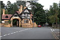

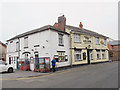
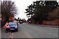
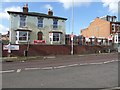
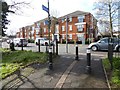
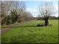
100 photos from this area
Area Information
Key information about the WR5 2AH including its size, population, and administrative classification.
- Area Type
- Postcode
- Area Size
- 7127 m²
- Population
- 1704
- Population Density
- 5761 people/km²
House Prices in WR5 2AH
12
Properties
£256,350
Average Sold Price
£127,000
Lowest Price
£396,000
Highest Price
Showing 12 properties
| Address | Type | Beds | Baths | Last Sale Price | Last Sale Date | |
|---|---|---|---|---|---|---|
| 91 St Dunstans Crescent, Worcester, WR5 2AH | Semi-detached | 3 | 2 | £346,000 | Oct 2023 | |
| 101 St Dunstans Crescent, Worcester, WR5 2AH | Bungalow | 4 | 2 | £396,000 | Mar 2023 | |
| 103 St Dunstans Crescent, Worcester, WR5 2AH | Retail | 2 | 1 | £325,000 | Nov 2022 | |
| 93 St Dunstans Crescent, Worcester, WR5 2AH | house | - | - | £250,000 | Apr 2018 | |
| 97 St Dunstans Crescent, Worcester, WR5 2AH | Semi-detached | 4 | 4 | £375,000 | Aug 2017 | |
| 82 St Dunstans Crescent, Worcester, WR5 2AH | Bungalow | - | - | £235,000 | Nov 2016 | |
| 88 St Dunstans Crescent, Worcester, WR5 2AH | Detached | - | - | £134,500 | May 2012 | |
| 89 St Dunstans Crescent, Worcester, WR5 2AH | house | 3 | - | £165,000 | Jun 2011 | |
| 86 St Dunstans Crescent, Worcester, WR5 2AH | Bungalow | - | - | £210,000 | Aug 2010 | |
| 95 St Dunstans Crescent, Worcester, WR5 2AH | Semi-detached | - | - | £127,000 | Feb 2002 |
Page 1 of 2
Energy Efficiency in WR5 2AH
Amenities
Schools
| Rank | School | Type | Entry gender | Ages |
|---|
Explore more schools in this area
Go to Schools tabDemographics
Household Size
Family (3-5 people)
most common
Accommodation Type
Houses
most common
Tenure
65
majority
Ethnic Group
White
most common
Religion
N/A
most common
Household Composition
N/A
most common
Age
47
median
Adults (30-64 years)
most common
Household Deprivation
N/A
with no deprivation
NS-SEC
44
in Lower managerial occupations
Explore more demographic insights in this area
Go to Demographics tabPlanning
Planning Constraints
- Flood RiskPremium
- Ramsar Wetland SitesPremium
- Area of Outstanding Natural BeautyPremium
- Protected Nature ReservePremium
- Protected WoodlandPremium