Area Overview for WR5 1PW
Photos of WR5 1PW
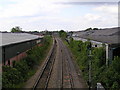
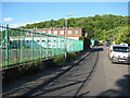
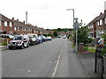
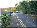
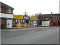
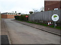
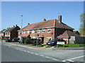
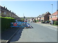
100 photos from this area
Area Information
Key information about the WR5 1PW including its size, population, and administrative classification.
- Area Type
- Postcode
- Area Size
- 4.6 hectares
- Population
- 1539
- Population Density
- 4474 people/km²
House Prices in WR5 1PW
53
Properties
£154,813
Average Sold Price
£40,000
Lowest Price
£267,000
Highest Price
Showing 53 properties
| Address | Type | Beds | Baths | Last Sale Price | Last Sale Date | |
|---|---|---|---|---|---|---|
| 26 Peterborough Close, Worcester, WR5 1PW | Semi-detached | 3 | - | £248,000 | Oct 2023 | |
| 42 Peterborough Close, Worcester, WR5 1PW | house | 3 | 1 | £230,000 | May 2022 | |
| 4 Peterborough Close, Worcester, WR5 1PW | Detached | 3 | 1 | £212,000 | Nov 2021 | |
| 47 Peterborough Close, Worcester, WR5 1PW | house | - | - | £267,000 | Sep 2021 | |
| 61 Peterborough Close, Worcester, WR5 1PW | house | - | - | £197,000 | Jun 2019 | |
| 22 Peterborough Close, Worcester, WR5 1PW | Semi-detached | 3 | 2 | £190,000 | Apr 2019 | |
| 2 Peterborough Close, Worcester, WR5 1PW | Semi-detached | 3 | 1 | £172,500 | Dec 2018 | |
| 31 Peterborough Close, Worcester, WR5 1PW | Semi-detached | 3 | 1 | £168,500 | Oct 2018 | |
| 10 Peterborough Close, Worcester, WR5 1PW | Detached | 3 | - | £190,000 | Aug 2018 | |
| 57 Peterborough Close, Worcester, WR5 1PW | Semi-detached | 3 | 1 | £165,000 | Apr 2018 |
Page 1 of 6
Energy Efficiency in WR5 1PW
Amenities
Schools
| Rank | School | Type | Entry gender | Ages |
|---|
Explore more schools in this area
Go to Schools tabDemographics
Household Size
Family (3-5 people)
most common
Accommodation Type
Houses
most common
Tenure
69
majority
Ethnic Group
White
most common
Religion
N/A
most common
Household Composition
N/A
most common
Age
47
median
Adults (30-64 years)
most common
Household Deprivation
N/A
with no deprivation
NS-SEC
24
in Lower managerial occupations
Explore more demographic insights in this area
Go to Demographics tabPlanning
Planning Constraints
- Flood RiskPremium
- Ramsar Wetland SitesPremium
- Area of Outstanding Natural BeautyPremium
- Protected Nature ReservePremium
- Protected WoodlandPremium